Distance to Adonijah, West Virginia

Calculating Your Route
Just a moment while we process your request...
Location Information
-
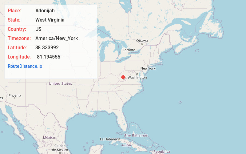
Full AddressAdonijah, WV 25088
-
Coordinates38.3339924, -81.1945551
-
LocationAdonijah , West Virginia , US
-
TimezoneAmerica/New_York
-
Current Local Time5:30:16 AM America/New_YorkWednesday, June 18, 2025
-
Page Views0
About Adonijah
Adonijah is an unincorporated community in Clay County, West Virginia, United States. Adonijah is located at the confluence of the Laurel Fork and Adonijah Fork.
Nearby Places
Found 10 places within 50 miles

Lizemores
1.1 mi
1.8 km
Lizemores, WV 25111
Get directions
Crosby
1.2 mi
1.9 km
Crosby, WV 25125
Get directions
Indore
2.9 mi
4.7 km
Indore, WV 25125
Get directions
Greendale
3.5 mi
5.6 km
Greendale, WV 26656
Get directions
Bentree
3.5 mi
5.6 km
Bentree, WV 25125
Get directions
Warfield
3.7 mi
6.0 km
Warfield, WV 25030
Get directions
Glen
4.9 mi
7.9 km
Glen, WV 25030
Get directions
Fola
5.2 mi
8.4 km
Fola, WV 25019
Get directions

Bickmore
5.5 mi
8.9 km
Bickmore, WV 25019
Get directions
Spangler
5.6 mi
9.0 km
Spangler, WV 25160
Get directions
Location Links
Local Weather
Weather Information
Coming soon!
Location Map
Static map view of Adonijah, West Virginia
Browse Places by Distance
Places within specific distances from Adonijah
Short Distances
Long Distances
Click any distance to see all places within that range from Adonijah. Distances shown in miles (1 mile ≈ 1.61 kilometers).