Distance to Indore, West Virginia

Calculating Your Route
Just a moment while we process your request...
Location Information
-
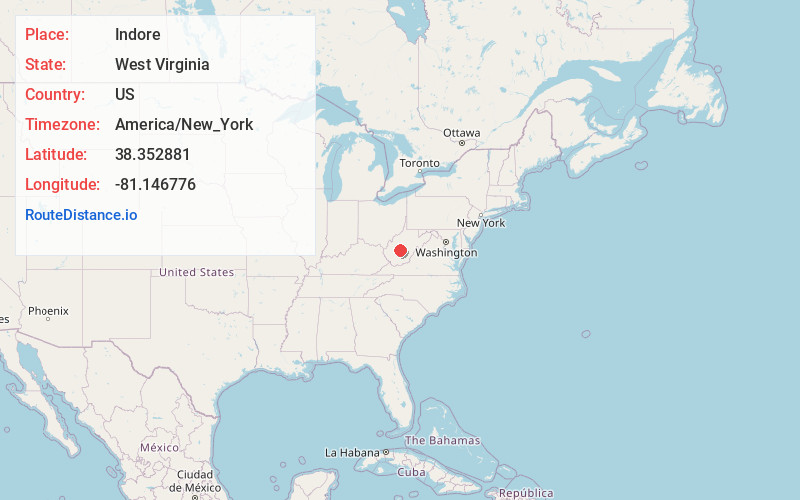
Full AddressIndore, WV 25125
-
Coordinates38.3528812, -81.1467757
-
LocationIndore , West Virginia , US
-
TimezoneAmerica/New_York
-
Current Local Time6:17:35 PM America/New_YorkWednesday, July 2, 2025
-
Page Views0
About Indore
Indore is an unincorporated community in Clay County, West Virginia, United States. Indore is located on West Virginia Route 16, 8 miles south-southwest of Clay. Indore has a post office with ZIP code 25111.
The community derives its name from Endor, a place mentioned in the Hebrew Bible.
Nearby Places
Found 10 places within 50 miles

Fola
2.4 mi
3.9 km
Fola, WV 25019
Get directions

Bickmore
2.7 mi
4.3 km
Bickmore, WV 25019
Get directions
Greendale
4.0 mi
6.4 km
Greendale, WV 26656
Get directions
Glen
5.9 mi
9.5 km
Glen, WV 25030
Get directions
Shelton
6.0 mi
9.7 km
Shelton, WV 25030
Get directions
Dorfee
6.5 mi
10.5 km
Dorfee, WV 25164
Get directions

Elkhurst
6.6 mi
10.6 km
Elkhurst, WV 25164
Get directions
Odessa
7.2 mi
11.6 km
Odessa, WV 25030
Get directions
Dixie
7.5 mi
12.1 km
Dixie, WV 25059
Get directions

Clay
8.1 mi
13.0 km
Clay, WV
Get directions
Location Links
Local Weather
Weather Information
Coming soon!
Location Map
Static map view of Indore, West Virginia
Browse Places by Distance
Places within specific distances from Indore
Short Distances
Long Distances
Click any distance to see all places within that range from Indore. Distances shown in miles (1 mile ≈ 1.61 kilometers).