Distance to Clay, West Virginia

Calculating Your Route
Just a moment while we process your request...
Location Information
-
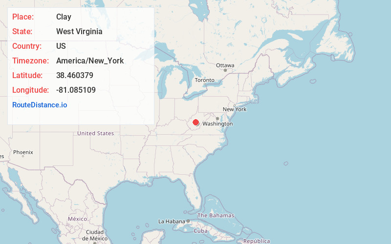
Full AddressClay, WV
-
Coordinates38.4603788, -81.0851086
-
LocationClay , West Virginia , US
-
TimezoneAmerica/New_York
-
Current Local Time5:26:16 AM America/New_YorkSaturday, June 21, 2025
-
Page Views0
About Clay
Clay is a town in and the county seat of Clay County, West Virginia, United States. The population was 399 at the 2020 census. It is the only incorporated town in Clay County.


Nearby Places
Found 10 places within 50 miles

Clendenin
14.4 mi
23.2 km
Clendenin, WV
Get directions

Summersville
17.7 mi
28.5 km
Summersville, WV 26651
Get directions

Elkview
21.3 mi
34.3 km
Elkview, WV 25071
Get directions

Pinch
21.8 mi
35.1 km
Pinch, WV 25071
Get directions

Gassaway
22.3 mi
35.9 km
Gassaway, WV 26624
Get directions

Ansted
22.4 mi
36.0 km
Ansted, WV 25812
Get directions

Smithers
22.7 mi
36.5 km
Smithers, WV
Get directions

Tioga
23.4 mi
37.7 km
Tioga, WV
Get directions

Montgomery
23.4 mi
37.7 km
Montgomery, WV 25136
Get directions

Boomer
24.0 mi
38.6 km
Boomer, WV
Get directions
Location Links
Local Weather
Weather Information
Coming soon!
Location Map
Static map view of Clay, West Virginia
Browse Places by Distance
Places within specific distances from Clay
Short Distances
Long Distances
Click any distance to see all places within that range from Clay. Distances shown in miles (1 mile ≈ 1.61 kilometers).