Distance to Clendenin, West Virginia

Calculating Your Route
Just a moment while we process your request...
Location Information
-
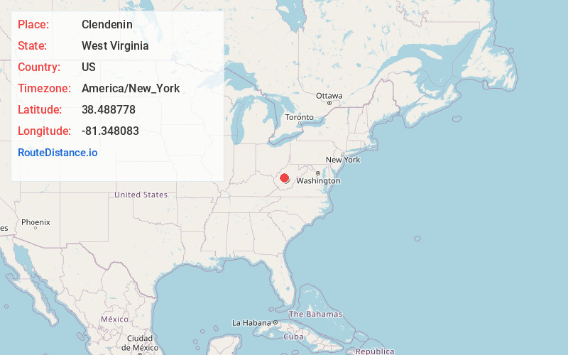
Full AddressClendenin, WV
-
Coordinates38.488778, -81.348083
-
LocationClendenin , West Virginia , US
-
TimezoneAmerica/New_York
-
Current Local Time3:34:35 AM America/New_YorkWednesday, May 21, 2025
-
Page Views0
About Clendenin
Clendenin is a town in Kanawha County, West Virginia, United States, situated along the Elk River. The population was 850 at the 2020 census.


Nearby Places
Found 10 places within 50 miles

Pinch
9.1 mi
14.6 km
Pinch, WV 25071
Get directions

Coal Fork
15.1 mi
24.3 km
Coal Fork, WV 25306
Get directions

Sissonville
15.5 mi
24.9 km
Sissonville, WV
Get directions

Charleston
18.2 mi
29.3 km
Charleston, WV
Get directions

Belle
20.5 mi
33.0 km
Belle, WV 25015
Get directions

Marmet
20.6 mi
33.2 km
Marmet, WV
Get directions

South Charleston
20.8 mi
33.5 km
South Charleston, WV
Get directions

Chesapeake
21.0 mi
33.8 km
Chesapeake, WV
Get directions

Montgomery
21.3 mi
34.3 km
Montgomery, WV 25136
Get directions

Spencer
21.6 mi
34.8 km
Spencer, WV 25276
Get directions
Location Links
Local Weather
Weather Information
Coming soon!
Location Map
Static map view of Clendenin, West Virginia
Browse Places by Distance
Places within specific distances from Clendenin
Short Distances
Long Distances
Click any distance to see all places within that range from Clendenin. Distances shown in miles (1 mile ≈ 1.61 kilometers).