Distance to Agate, North Dakota

Calculating Your Route
Just a moment while we process your request...
Location Information
-
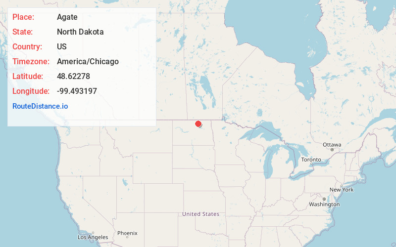
Full AddressAgate, ND 58310
-
Coordinates48.6227795, -99.4931974
-
LocationAgate , North Dakota , US
-
TimezoneAmerica/Chicago
-
Current Local Time4:41:13 AM America/ChicagoWednesday, June 18, 2025
-
Page Views0
About Agate
Agate is an unincorporated community in southeastern Rolette and western Towner counties in the U.S. state of North Dakota. It lies along North Dakota Highway 66, south of Rolla and northwest of Cando, the respective seats of Rolette and Towner Counties. Its elevation is 1,657 feet. Agate has the ZIP code 58310.
Nearby Places
Found 10 places within 50 miles

Bisbee
5.3 mi
8.5 km
Bisbee, ND 58317
Get directions
Mylo
5.8 mi
9.3 km
Mylo, ND 58353
Get directions
Perth
6.7 mi
10.8 km
Perth, ND
Get directions

Wolford
12.9 mi
20.8 km
Wolford, ND 58385
Get directions
Nanson
13.5 mi
21.7 km
Nanson, ND 58366
Get directions

Cando
16.0 mi
25.7 km
Cando, ND 58324
Get directions

Rolette
16.1 mi
25.9 km
Rolette, ND 58366
Get directions

Rocklake
16.1 mi
25.9 km
Rocklake, ND 58365
Get directions

Rolla
17.2 mi
27.7 km
Rolla, ND 58367
Get directions
Green Acres
17.8 mi
28.6 km
Green Acres, ND 58316
Get directions
Location Links
Local Weather
Weather Information
Coming soon!
Location Map
Static map view of Agate, North Dakota
Browse Places by Distance
Places within specific distances from Agate
Short Distances
Long Distances
Click any distance to see all places within that range from Agate. Distances shown in miles (1 mile ≈ 1.61 kilometers).