Distance to Rocklake, North Dakota

Calculating Your Route
Just a moment while we process your request...
Location Information
-
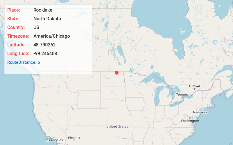
Full AddressRocklake, ND 58365
-
Coordinates48.7902618, -99.2464083
-
LocationRocklake , North Dakota , US
-
TimezoneAmerica/Chicago
-
Current Local Time4:21:53 AM America/ChicagoWednesday, June 18, 2025
-
Page Views0
About Rocklake
Rocklake is a city in Towner County, North Dakota, United States. The population was 94 at the 2020 census. The city lies a few miles south of the Canada–United States border, near the junction of U.S. Route 281 and North Dakota State Highway 5.


Nearby Places
Found 10 places within 50 miles

Rolla
17.5 mi
28.2 km
Rolla, ND 58367
Get directions

Munich
20.6 mi
33.2 km
Munich, ND 58352
Get directions

Green Acres
20.7 mi
33.3 km
Green Acres, ND 58316
Get directions

Cando
21.0 mi
33.8 km
Cando, ND 58324
Get directions
Belcourt
22.9 mi
36.9 km
Belcourt, ND 58316
Get directions
St John
23.7 mi
38.1 km
St John, ND 58369
Get directions
Shell Valley
28.2 mi
45.4 km
Shell Valley, ND 58316
Get directions

Rolette
28.6 mi
46.0 km
Rolette, ND 58366
Get directions
East Dunseith
35.4 mi
57.0 km
East Dunseith, ND 58329
Get directions
Leeds
35.7 mi
57.5 km
Leeds, ND 58346
Get directions
Location Links
Local Weather
Weather Information
Coming soon!
Location Map
Static map view of Rocklake, North Dakota
Browse Places by Distance
Places within specific distances from Rocklake
Short Distances
Long Distances
Click any distance to see all places within that range from Rocklake. Distances shown in miles (1 mile ≈ 1.61 kilometers).