Distance to Leeds, North Dakota

Calculating Your Route
Just a moment while we process your request...
Location Information
-
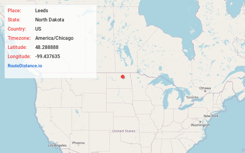
Full AddressLeeds, ND 58346
-
Coordinates48.2888882, -99.4376352
-
LocationLeeds , North Dakota , US
-
TimezoneAmerica/Chicago
-
Current Local Time1:23:58 AM America/ChicagoFriday, May 23, 2025
-
Page Views0
About Leeds
Leeds is a city in Benson County, North Dakota, United States. The population was 442 at the 2020 census.
Leeds was founded in 1887 and named after Leeds, England.
Nearby Places
Found 10 places within 50 miles

Cando
17.2 mi
27.7 km
Cando, ND 58324
Get directions

Rugby
26.3 mi
42.3 km
Rugby, ND 58368
Get directions

Devils Lake
29.0 mi
46.7 km
Devils Lake, ND 58301
Get directions

Fort Totten
29.6 mi
47.6 km
Fort Totten, ND
Get directions

Rolette
31.7 mi
51.0 km
Rolette, ND 58366
Get directions

Green Acres
40.1 mi
64.5 km
Green Acres, ND 58316
Get directions

Rolla
40.2 mi
64.7 km
Rolla, ND 58367
Get directions
Shell Valley
40.2 mi
64.7 km
Shell Valley, ND 58316
Get directions
Belcourt
40.5 mi
65.2 km
Belcourt, ND 58316
Get directions

Harvey
42.6 mi
68.6 km
Harvey, ND 58341
Get directions
Location Links
Local Weather
Weather Information
Coming soon!
Location Map
Static map view of Leeds, North Dakota
Browse Places by Distance
Places within specific distances from Leeds
Short Distances
Long Distances
Click any distance to see all places within that range from Leeds. Distances shown in miles (1 mile ≈ 1.61 kilometers).