Distance to Agua Dulce, California

Calculating Your Route
Just a moment while we process your request...
Location Information
-
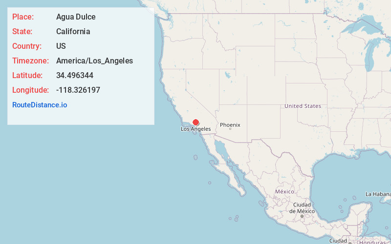
Full AddressAgua Dulce, CA 91390
-
Coordinates34.4963443, -118.3261969
-
LocationAgua Dulce , California , US
-
TimezoneAmerica/Los_Angeles
-
Current Local Time2:43:19 PM America/Los_AngelesTuesday, June 17, 2025
-
Page Views0
About Agua Dulce
Agua Dulce is an unincorporated community and census-designated place in Los Angeles County, California, United States. It lies at an elevation of 2,526 feet, northeast of Santa Clarita. The community had a population of 3,451 at the 2020 census and covers a geographic area of about 23 square miles.


Nearby Places
Found 10 places within 50 miles

Acton
7.6 mi
12.2 km
Acton, CA
Get directions

Desert View Highlands
11.8 mi
19.0 km
Desert View Highlands, CA 93551
Get directions

Quartz Hill
12.0 mi
19.3 km
Quartz Hill, CA 93536
Get directions

Palmdale
13.2 mi
21.2 km
Palmdale, CA
Get directions

Santa Clarita
14.3 mi
23.0 km
Santa Clarita, CA
Get directions

San Fernando
16.1 mi
25.9 km
San Fernando, CA
Get directions

Castaic
17.1 mi
27.5 km
Castaic, CA 91384
Get directions

Lancaster
17.6 mi
28.3 km
Lancaster, CA
Get directions

Val Verde
19.2 mi
30.9 km
Val Verde, CA 91384
Get directions

Sun Village
21.7 mi
34.9 km
Sun Village, CA
Get directions
Location Links
Local Weather
Weather Information
Coming soon!
Location Map
Static map view of Agua Dulce, California
Browse Places by Distance
Places within specific distances from Agua Dulce
Short Distances
Long Distances
Click any distance to see all places within that range from Agua Dulce. Distances shown in miles (1 mile ≈ 1.61 kilometers).