Distance to Val Verde, California

Calculating Your Route
Just a moment while we process your request...
Location Information
-
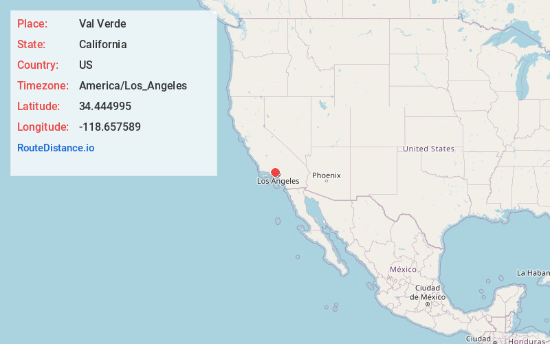
Full AddressVal Verde, CA 91384
-
Coordinates34.4449952, -118.657589
-
LocationVal Verde , California , US
-
TimezoneAmerica/Los_Angeles
-
Current Local Time3:39:31 PM America/Los_AngelesSaturday, June 21, 2025
-
Page Views0
About Val Verde
Val Verde is an unincorporated community in the southeastern Topatopa Mountains foothills, and in northwestern Los Angeles County, California. The unincorporated community of Valencia is southeast, and the city of Santa Clarita is east of the community.


Nearby Places
Found 10 places within 50 miles

Castaic
3.5 mi
5.6 km
Castaic, CA 91384
Get directions

Santa Clarita
7.5 mi
12.1 km
Santa Clarita, CA
Get directions

Simi Valley
14.0 mi
22.5 km
Simi Valley, CA
Get directions

Fillmore
15.2 mi
24.5 km
Fillmore, CA 93015
Get directions

San Fernando
16.8 mi
27.0 km
San Fernando, CA
Get directions

Moorpark
16.9 mi
27.2 km
Moorpark, CA 93021
Get directions

Oak Park
19.3 mi
31.1 km
Oak Park, CA 91377
Get directions

Calabasas
20.1 mi
32.3 km
Calabasas, CA
Get directions

Agoura Hills
21.0 mi
33.8 km
Agoura Hills, CA 91301
Get directions

Thousand Oaks
21.5 mi
34.6 km
Thousand Oaks, CA
Get directions
Location Links
Local Weather
Weather Information
Coming soon!
Location Map
Static map view of Val Verde, California
Browse Places by Distance
Places within specific distances from Val Verde
Short Distances
Long Distances
Click any distance to see all places within that range from Val Verde. Distances shown in miles (1 mile ≈ 1.61 kilometers).