Distance to Fillmore, California

Calculating Your Route
Just a moment while we process your request...
Location Information
-
Full AddressFillmore, CA 93015
-
Coordinates34.3991639, -118.918154
-
LocationFillmore , California , US
-
TimezoneAmerica/Los_Angeles
-
Current Local Time8:06:59 PM America/Los_AngelesSunday, June 22, 2025
-
Website
-
Page Views0
About Fillmore
Fillmore is a small city in Ventura County, California, United States, in the Santa Clara River Valley. In an agricultural area with rich, fertile soil, Fillmore has a historic downtown that was established when the Southern Pacific built the railroad through the valley in 1887.


Nearby Places
Found 10 places within 50 miles

Moorpark
8.1 mi
13.0 km
Moorpark, CA 93021
Get directions

Santa Paula
8.6 mi
13.8 km
Santa Paula, CA 93060
Get directions

Simi Valley
11.9 mi
19.2 km
Simi Valley, CA
Get directions

Camarillo
14.4 mi
23.2 km
Camarillo, CA
Get directions

Thousand Oaks
15.9 mi
25.6 km
Thousand Oaks, CA
Get directions

Castaic
17.8 mi
28.6 km
Castaic, CA 91384
Get directions

Agoura Hills
19.2 mi
30.9 km
Agoura Hills, CA 91301
Get directions

Oxnard
20.3 mi
32.7 km
Oxnard, CA
Get directions

Santa Clarita
21.4 mi
34.4 km
Santa Clarita, CA
Get directions

Ventura
22.9 mi
36.9 km
Ventura, CA
Get directions
Location Links
Local Weather
Weather Information
Coming soon!
Location Map
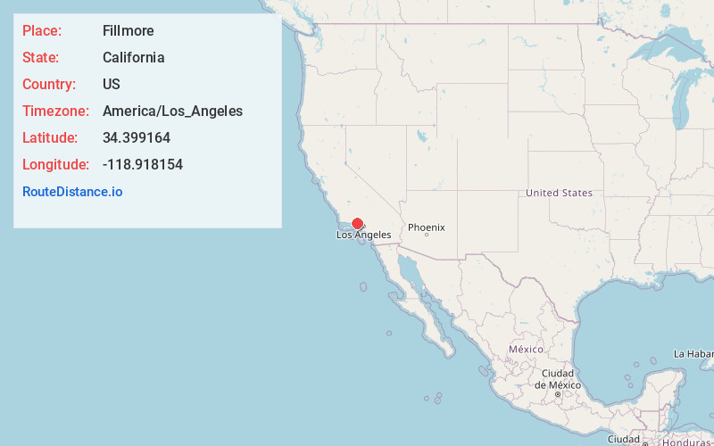
Static map view of Fillmore, California
Browse Places by Distance
Places within specific distances from Fillmore
Short Distances
Long Distances
Click any distance to see all places within that range from Fillmore. Distances shown in miles (1 mile ≈ 1.61 kilometers).