Distance to Santa Paula, California

Calculating Your Route
Just a moment while we process your request...
Location Information
-
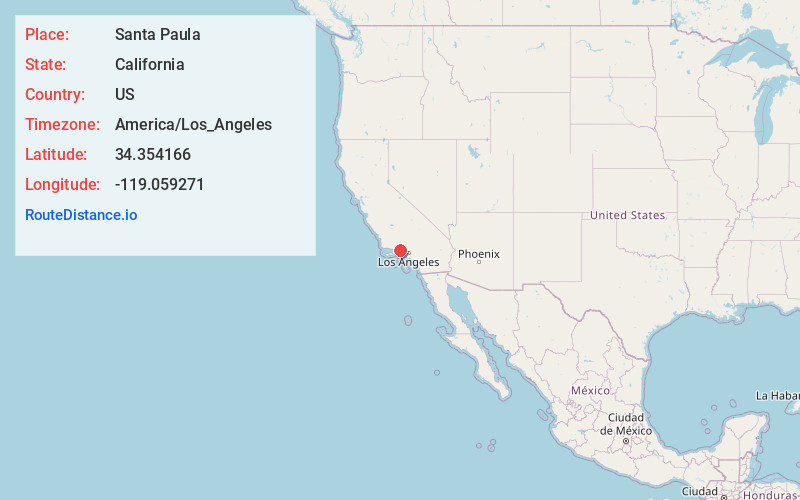
Full AddressSanta Paula, CA 93060
-
Coordinates34.3541659, -119.0592705
-
LocationSanta Paula , California , US
-
TimezoneAmerica/Los_Angeles
-
Current Local Time12:08:59 PM America/Los_AngelesTuesday, June 24, 2025
-
Website
-
Page Views0
About Santa Paula
Santa Paula is a city in Ventura County, California, United States. Situated amid the orchards of the Santa Clara River Valley, the city advertises itself to tourists as the "Citrus Capital of the World". Santa Paula was one of the early centers of California's petroleum industry.


Nearby Places
Found 10 places within 50 miles

Camarillo
9.6 mi
15.4 km
Camarillo, CA
Get directions

Moorpark
11.2 mi
18.0 km
Moorpark, CA 93021
Get directions

Oxnard
12.7 mi
20.4 km
Oxnard, CA
Get directions

Ventura
14.3 mi
23.0 km
Ventura, CA
Get directions

Simi Valley
16.9 mi
27.2 km
Simi Valley, CA
Get directions

Thousand Oaks
17.2 mi
27.7 km
Thousand Oaks, CA
Get directions

Santa Clarita
29.6 mi
47.6 km
Santa Clarita, CA
Get directions

Santa Barbara
36.8 mi
59.2 km
Santa Barbara, CA
Get directions

Santa Monica
40.2 mi
64.7 km
Santa Monica, CA
Get directions

Beverly Hills
42.3 mi
68.1 km
Beverly Hills, CA
Get directions
Location Links
Local Weather
Weather Information
Coming soon!
Location Map
Static map view of Santa Paula, California
Browse Places by Distance
Places within specific distances from Santa Paula
Short Distances
Long Distances
Click any distance to see all places within that range from Santa Paula. Distances shown in miles (1 mile ≈ 1.61 kilometers).