Distance to Agua Ramon Mountain, Colorado

Calculating Your Route
Just a moment while we process your request...
Location Information
-
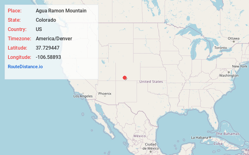
Full AddressAgua Ramon Mountain, Colorado 81154
-
Coordinates37.7294472, -106.5889301
-
LocationColorado , US
-
TimezoneAmerica/Denver
-
Current Local Time3:27:48 AM America/DenverWednesday, June 18, 2025
-
Page Views0
Nearby Places
Found 10 places within 50 miles

Alpine
2.8 mi
4.5 km
Alpine, CO 81154
Get directions

South Fork
5.0 mi
8.0 km
South Fork, CO 81154
Get directions
Baxterville
5.4 mi
8.7 km
Baxterville, South Fork, CO 81154
Get directions
Hanna
7.9 mi
12.7 km
Hanna, CO 81132
Get directions

Del Norte
13.4 mi
21.6 km
Del Norte, CO 81132
Get directions
Evansville
15.3 mi
24.6 km
Evansville, CO 81132
Get directions
Sevenmile Plaza
20.0 mi
32.2 km
Sevenmile Plaza, CO 81144
Get directions

Creede
20.2 mi
32.5 km
Creede, CO 81130
Get directions
North Creede
20.6 mi
33.2 km
North Creede, Creede, CO 81130
Get directions
Spar City
20.8 mi
33.5 km
Spar City, CO 81130
Get directions
Location Links
Local Weather
Weather Information
Coming soon!
Location Map
Static map view of Agua Ramon Mountain, Colorado
Browse Places by Distance
Places within specific distances from Agua Ramon Mountain
Short Distances
Long Distances
Click any distance to see all places within that range from Agua Ramon Mountain. Distances shown in miles (1 mile ≈ 1.61 kilometers).