Distance to South Fork, Colorado

Calculating Your Route
Just a moment while we process your request...
Location Information
-
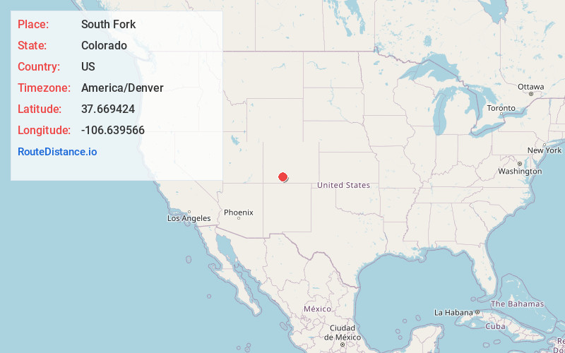
Full AddressSouth Fork, CO 81154
-
Coordinates37.6694235, -106.6395661
-
LocationSouth Fork , Colorado , US
-
TimezoneAmerica/Denver
-
Current Local Time8:24:11 AM America/DenverSaturday, June 21, 2025
-
Website
-
Page Views0
About South Fork
South Fork is a statutory town in Rio Grande County, Colorado, United States. It lies at the confluence of the South Fork and Rio Grande rivers. The population was 510 at the 2020 census.


Nearby Places
Found 9 places within 50 miles

Del Norte
15.7 mi
25.3 km
Del Norte, CO 81132
Get directions

Monte Vista
27.6 mi
44.4 km
Monte Vista, CO 81144
Get directions

Center
29.6 mi
47.6 km
Center, CO 81125
Get directions

Pagosa Springs
34.3 mi
55.2 km
Pagosa Springs, CO 81147
Get directions

Saguache
39.6 mi
63.7 km
Saguache, CO 81149
Get directions

Alamosa
44.4 mi
71.5 km
Alamosa, CO 81101
Get directions

Alamosa East
44.9 mi
72.3 km
Alamosa East, CO 81101
Get directions

La Jara
46.2 mi
74.4 km
La Jara, CO 81140
Get directions
Sanford
49.3 mi
79.3 km
Sanford, CO 81151
Get directions
Location Links
Local Weather
Weather Information
Coming soon!
Location Map
Static map view of South Fork, Colorado
Browse Places by Distance
Places within specific distances from South Fork
Short Distances
Long Distances
Click any distance to see all places within that range from South Fork. Distances shown in miles (1 mile ≈ 1.61 kilometers).