Distance to and from Airport Rd, Wyoming
Airport Rd, Worland, WY 82401
Worland
Wyoming
US
America/Denver
Location Information
-
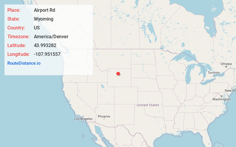
Full AddressAirport Rd, Worland, WY 82401
-
Coordinates43.9932822, -107.9515572
-
NeighborhoodAirport Road
-
LocationWorland , Wyoming , US
-
TimezoneAmerica/Denver
-
Current Local Time11:07:25 AM America/DenverSaturday, May 3, 2025
-
Page Views0
Directions to Nearest Cities
About Airport Rd
Airport Road is an unincorporated community in Washakie County, Wyoming, United States. The population was 297 at the 2000 census, when it was a census-designated place.
Nearby Places
Found 10 places within 50 miles

Worland
1.6 mi
2.6 km
Worland, WY 82401
Get directions

Kirby
17.4 mi
28.0 km
Kirby, WY
Get directions
Manderson
19.1 mi
30.7 km
Manderson, WY 82432
Get directions

Gebo
19.5 mi
31.4 km
Gebo, WY 82443
Get directions
Lucerne
21.1 mi
34.0 km
Lucerne, WY 82443
Get directions

Hyattville
24.6 mi
39.6 km
Hyattville, WY 82428
Get directions

Ten Sleep
25.0 mi
40.2 km
Ten Sleep, WY 82442
Get directions
East Thermopolis
26.9 mi
43.3 km
East Thermopolis, WY 82443
Get directions

Basin
27.1 mi
43.6 km
Basin, WY 82410
Get directions

Thermopolis
27.3 mi
43.9 km
Thermopolis, WY 82443
Get directions
Worland
1.6 mi
2.6 km
Worland, WY 82401
Kirby
17.4 mi
28.0 km
Kirby, WY
Manderson
19.1 mi
30.7 km
Manderson, WY 82432
Gebo
19.5 mi
31.4 km
Gebo, WY 82443
Lucerne
21.1 mi
34.0 km
Lucerne, WY 82443
Hyattville
24.6 mi
39.6 km
Hyattville, WY 82428
Ten Sleep
25.0 mi
40.2 km
Ten Sleep, WY 82442
East Thermopolis
26.9 mi
43.3 km
East Thermopolis, WY 82443
Basin
27.1 mi
43.6 km
Basin, WY 82410
Thermopolis
27.3 mi
43.9 km
Thermopolis, WY 82443
Location Links
Local Weather
Weather Information
Coming soon!
Location Map
Static map view of Airport Rd, Wyoming
Browse Places by Distance
Places within specific distances from Airport Rd
Short Distances
Long Distances
Click any distance to see all places within that range from Airport Rd. Distances shown in miles (1 mile ≈ 1.61 kilometers).