Distance to Alabam, Arkansas

Calculating Your Route
Just a moment while we process your request...
Location Information
-
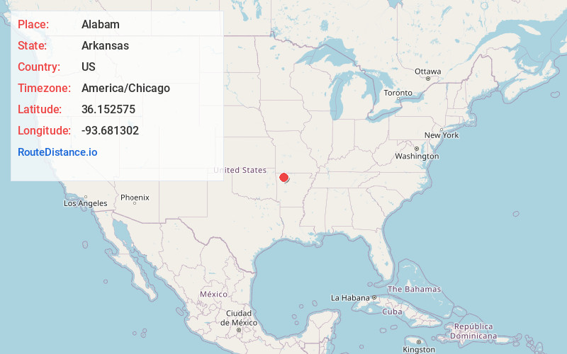
Full AddressAlabam, AR 72740
-
Coordinates36.1525747, -93.6813021
-
LocationAlabam , Arkansas , US
-
TimezoneAmerica/Chicago
-
Current Local Time4:27:41 AM America/ChicagoWednesday, June 18, 2025
-
Page Views0
About Alabam
Alabam is an unincorporated community in Madison County, Arkansas, United States. The community is located on Arkansas Highway 127, approximately six miles northeast of Huntsville. The community of Old Alabam is about one mile south at the intersection of Highway 127 and U.S. Route 412.
Nearby Places
Found 10 places within 50 miles

Old Alabam
1.3 mi
2.1 km
Old Alabam, AR 72740
Get directions

Marble
5.3 mi
8.5 km
Marble, AR 72740
Get directions

Huntsville
5.4 mi
8.7 km
Huntsville, AR 72740
Get directions
Hartwell
7.1 mi
11.4 km
Hartwell, AR 72740
Get directions
Purdy
7.3 mi
11.7 km
Purdy, AR 72740
Get directions
Dean
8.7 mi
14.0 km
Dean, AR 72616
Get directions
Clifty
8.7 mi
14.0 km
Clifty, AR 72740
Get directions
Rockhouse
9.0 mi
14.5 km
Rockhouse, AR 72740
Get directions

Hindsville
10.1 mi
16.3 km
Hindsville, AR 72738
Get directions
Roxton
10.3 mi
16.6 km
Roxton, AR 72773
Get directions
Location Links
Local Weather
Weather Information
Coming soon!
Location Map
Static map view of Alabam, Arkansas
Browse Places by Distance
Places within specific distances from Alabam
Short Distances
Long Distances
Click any distance to see all places within that range from Alabam. Distances shown in miles (1 mile ≈ 1.61 kilometers).