Distance to Huntsville, Arkansas

Calculating Your Route
Just a moment while we process your request...
Location Information
-
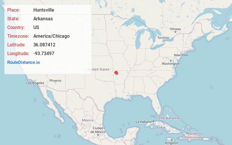
Full AddressHuntsville, AR 72740
-
Coordinates36.0874118, -93.7349696
-
LocationHuntsville , Arkansas , US
-
TimezoneAmerica/Chicago
-
Current Local Time6:02:45 PM America/ChicagoFriday, June 20, 2025
-
Page Views1
About Huntsville
Huntsville is a city in and the county seat of Madison County, Arkansas, United States. The population was 2,879 at the 2020 census, up from 2,346 in 2010. During the American Civil War in 1862, it was the site of what became known as the Huntsville Massacre. Huntsville is part of the Northwest Arkansas region.


Nearby Places
Found 10 places within 50 miles

Elkins
16.4 mi
26.4 km
Elkins, AR
Get directions

Berryville
21.3 mi
34.3 km
Berryville, AR 72616
Get directions

Springdale
23.3 mi
37.5 km
Springdale, AR
Get directions

Fayetteville
23.7 mi
38.1 km
Fayetteville, AR
Get directions

Green Forest
23.9 mi
38.5 km
Green Forest, AR 72638
Get directions

Johnson
24.1 mi
38.8 km
Johnson, AR
Get directions

Lowell
25.2 mi
40.6 km
Lowell, AR
Get directions

West Fork
27.1 mi
43.6 km
West Fork, AR 72774
Get directions

Rogers
27.6 mi
44.4 km
Rogers, AR
Get directions

Tontitown
27.7 mi
44.6 km
Tontitown, AR
Get directions
Location Links
Local Weather
Weather Information
Coming soon!
Location Map
Static map view of Huntsville, Arkansas
Browse Places by Distance
Places within specific distances from Huntsville
Short Distances
Long Distances
Click any distance to see all places within that range from Huntsville. Distances shown in miles (1 mile ≈ 1.61 kilometers).