Distance to Johnson, Arkansas

Calculating Your Route
Just a moment while we process your request...
Location Information
-
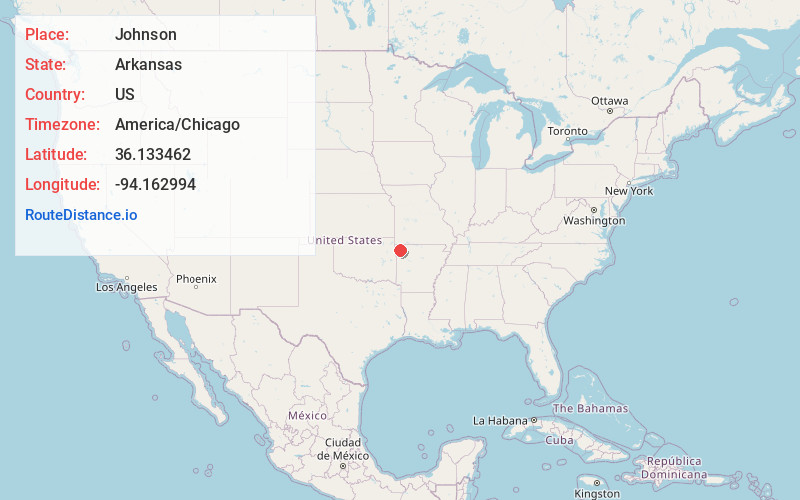
Full AddressJohnson, AR
-
Coordinates36.1334622, -94.1629938
-
LocationJohnson , Arkansas , US
-
TimezoneAmerica/Chicago
-
Current Local Time12:35:56 AM America/ChicagoTuesday, June 24, 2025
-
Website
-
Page Views0
About Johnson
Johnson is a city in Washington County, Arkansas, United States. The community is located in the Ozark Mountains and is surrounded by valleys and natural springs. Early settlers took advantage of these natural features and formed an economy based on mining lime, the Johnson Mill and trout.

Nearby Places
Found 10 places within 50 miles

Springdale
3.1 mi
5.0 km
Springdale, AR
Get directions

Tontitown
4.3 mi
6.9 km
Tontitown, AR
Get directions

Fayetteville
5.0 mi
8.0 km
Fayetteville, AR
Get directions

Farmington
8.3 mi
13.4 km
Farmington, AR 72730
Get directions

Lowell
8.5 mi
13.7 km
Lowell, AR
Get directions

Cave Springs
9.9 mi
15.9 km
Cave Springs, AR
Get directions

Elkins
12.6 mi
20.3 km
Elkins, AR
Get directions

Prairie Grove
13.9 mi
22.4 km
Prairie Grove, AR
Get directions

Rogers
14.0 mi
22.5 km
Rogers, AR
Get directions

Bentonville
16.7 mi
26.9 km
Bentonville, AR
Get directions
Location Links
Local Weather
Weather Information
Coming soon!
Location Map
Static map view of Johnson, Arkansas
Browse Places by Distance
Places within specific distances from Johnson
Short Distances
Long Distances
Click any distance to see all places within that range from Johnson. Distances shown in miles (1 mile ≈ 1.61 kilometers).