Distance to Tontitown, Arkansas

Calculating Your Route
Just a moment while we process your request...
Location Information
-
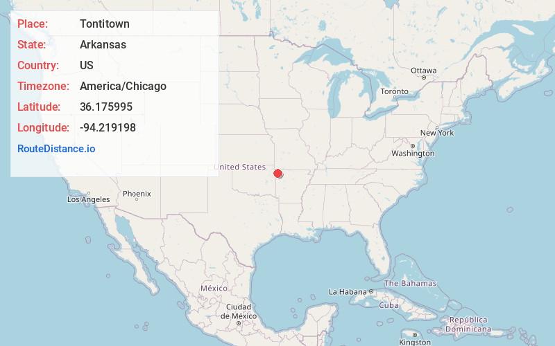
Full AddressTontitown, AR
-
Coordinates36.1759952, -94.2191982
-
LocationTontitown , Arkansas , US
-
TimezoneAmerica/Chicago
-
Current Local Time4:01:39 PM America/ChicagoWednesday, June 18, 2025
-
Website
-
Page Views0
About Tontitown
Tontitown is a city in northern Washington County, Arkansas, United States. The community is located in the Ozark Mountains and was founded by Italian settlers in 1898. Known for its grapes and wines, Tontitown has hosted the Tontitown Grape Festival continuously since 1898.


Nearby Places
Found 10 places within 50 miles

Springdale
4.5 mi
7.2 km
Springdale, AR
Get directions

Cave Springs
6.2 mi
10.0 km
Cave Springs, AR
Get directions

Lowell
7.1 mi
11.4 km
Lowell, AR
Get directions

Fayetteville
8.6 mi
13.8 km
Fayetteville, AR
Get directions

Farmington
9.7 mi
15.6 km
Farmington, AR 72730
Get directions

Rogers
12.1 mi
19.5 km
Rogers, AR
Get directions

Centerton
13.1 mi
21.1 km
Centerton, AR
Get directions

Bentonville
13.6 mi
21.9 km
Bentonville, AR
Get directions

Prairie Grove
14.9 mi
24.0 km
Prairie Grove, AR
Get directions

Siloam Springs
18.0 mi
29.0 km
Siloam Springs, AR
Get directions
Location Links
Local Weather
Weather Information
Coming soon!
Location Map
Static map view of Tontitown, Arkansas
Browse Places by Distance
Places within specific distances from Tontitown
Short Distances
Long Distances
Click any distance to see all places within that range from Tontitown. Distances shown in miles (1 mile ≈ 1.61 kilometers).