Distance to Lowell, Arkansas

Calculating Your Route
Just a moment while we process your request...
Location Information
-
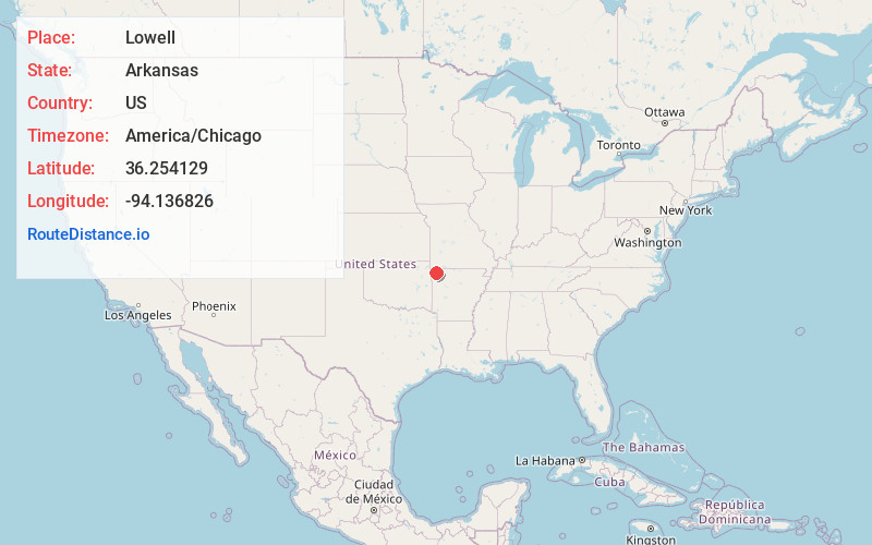
Full AddressLowell, AR
-
Coordinates36.2541286, -94.1368255
-
LocationLowell , Arkansas , US
-
TimezoneAmerica/Chicago
-
Current Local Time12:48:17 PM America/ChicagoThursday, June 5, 2025
-
Website
-
Page Views0
About Lowell
Lowell is a city in Benton County, Arkansas, United States. Located within the Ozarks, the first settlement was along Old Wire Road in the 1840s, and although destroyed during the Civil War, the community ...


Nearby Places
Found 8 places within 50 miles

Springdale
5.5 mi
8.9 km
Springdale, AR
Get directions

Rogers
5.5 mi
8.9 km
Rogers, AR
Get directions

Bentonville
9.1 mi
14.6 km
Bentonville, AR
Get directions

Centerton
11.0 mi
17.7 km
Centerton, AR
Get directions

Fayetteville
13.3 mi
21.4 km
Fayetteville, AR
Get directions

Bella Vista
16.5 mi
26.6 km
Bella Vista, AR
Get directions

Siloam Springs
23.0 mi
37.0 km
Siloam Springs, AR
Get directions

Neosho
44.4 mi
71.5 km
Neosho, MO 64850
Get directions
Location Links
Local Weather
Weather Information
Coming soon!
Location Map
Static map view of Lowell, Arkansas
Browse Places by Distance
Places within specific distances from Lowell
Short Distances
Long Distances
Click any distance to see all places within that range from Lowell. Distances shown in miles (1 mile ≈ 1.61 kilometers).