Distance to West Fork, Arkansas

Calculating Your Route
Just a moment while we process your request...
Location Information
-
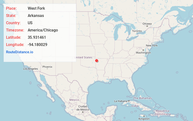
Full AddressWest Fork, AR 72774
-
Coordinates35.9314614, -94.1800289
-
LocationWest Fork , Arkansas , US
-
TimezoneAmerica/Chicago
-
Current Local Time7:14:04 PM America/ChicagoMonday, June 2, 2025
-
Page Views0
About West Fork
West Fork is a city in Washington County, Arkansas, United States. The population is 2,331 at the 2020 census. It is part of the Northwest Arkansas region.


Nearby Places
Found 10 places within 50 miles

Prairie Grove
8.3 mi
13.4 km
Prairie Grove, AR
Get directions

Farmington
8.5 mi
13.7 km
Farmington, AR 72730
Get directions

Fayetteville
9.1 mi
14.6 km
Fayetteville, AR
Get directions

Elkins
10.7 mi
17.2 km
Elkins, AR
Get directions

Johnson
14.0 mi
22.5 km
Johnson, AR
Get directions

Springdale
17.0 mi
27.4 km
Springdale, AR
Get directions

Tontitown
17.0 mi
27.4 km
Tontitown, AR
Get directions

Lowell
22.4 mi
36.0 km
Lowell, AR
Get directions

Cave Springs
23.2 mi
37.3 km
Cave Springs, AR
Get directions

Stilwell
26.4 mi
42.5 km
Stilwell, OK 74960
Get directions
Location Links
Local Weather
Weather Information
Coming soon!
Location Map
Static map view of West Fork, Arkansas
Browse Places by Distance
Places within specific distances from West Fork
Short Distances
Long Distances
Click any distance to see all places within that range from West Fork. Distances shown in miles (1 mile ≈ 1.61 kilometers).