Distance to Alameda, California

Calculating Your Route
Just a moment while we process your request...
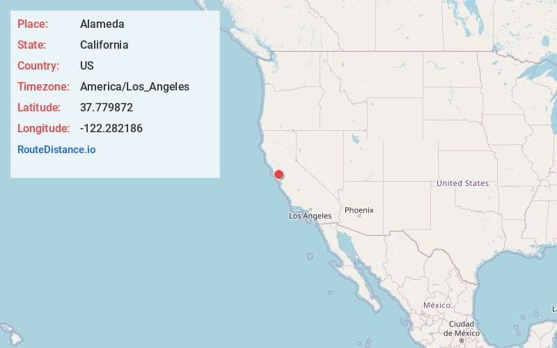
Location Information
-
Full AddressAlameda, CA
-
Coordinates37.7798721, -122.2821855
-
LocationAlameda , California , US
-
TimezoneAmerica/Los_Angeles
-
Current Local Time2:12:06 PM America/Los_AngelesTuesday, June 17, 2025
-
Website
-
Page Views0
About Alameda
Alameda is a city in Alameda County, California, United States, located in the East Bay region of the Bay Area. The city is built on an informal archipelago in San Francisco Bay, consisting of Alameda Island, Bay Farm Island and Coast Guard Island, along with other smaller islands.


Nearby Places
Found 10 places within 50 miles

Oakland
1.8 mi
2.9 km
Oakland, CA
Get directions

Berkeley
6.4 mi
10.3 km
Berkeley, CA
Get directions

San Francisco
7.5 mi
12.1 km
San Francisco, CA
Get directions

San Leandro
7.8 mi
12.6 km
San Leandro, CA
Get directions

Richmond
11.4 mi
18.3 km
Richmond, CA
Get directions

Daly City
12.1 mi
19.5 km
Daly City, CA
Get directions

Castro Valley
12.8 mi
20.6 km
Castro Valley, CA
Get directions

Hayward
13.4 mi
21.6 km
Hayward, CA
Get directions

Walnut Creek
14.9 mi
24.0 km
Walnut Creek, CA
Get directions

San Mateo
15.2 mi
24.5 km
San Mateo, CA
Get directions
Location Links
Local Weather
Weather Information
Coming soon!
Location Map
Static map view of Alameda, California
Browse Places by Distance
Places within specific distances from Alameda
Short Distances
Long Distances
Click any distance to see all places within that range from Alameda. Distances shown in miles (1 mile ≈ 1.61 kilometers).