Distance to Alander, Massachusetts

Calculating Your Route
Just a moment while we process your request...
Location Information
-
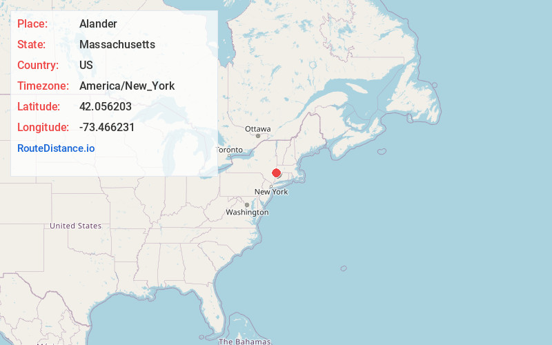
Full AddressAlander, Mt Washington, MA 01258
-
Coordinates42.0562025, -73.4662312
-
NeighborhoodAlander
-
LocationMt Washington , Massachusetts , US
-
TimezoneAmerica/New_York
-
Current Local Time6:44:51 PM America/New_YorkTuesday, June 17, 2025
-
Page Views0
Nearby Places
Found 10 places within 50 miles

Mt Washington
2.1 mi
3.4 km
Mt Washington, MA
Get directions

Weed Mines
3.6 mi
5.8 km
Weed Mines, Ancram, NY 12503
Get directions

Twin Lakes
4.6 mi
7.4 km
Twin Lakes, Salisbury, CT 06068
Get directions
Mt Riga
4.9 mi
7.9 km
Mt Riga, North East, NY 12546
Get directions

Copake Falls
5.3 mi
8.5 km
Copake Falls, NY 12517
Get directions

Salisbury
5.5 mi
8.9 km
Salisbury, CT
Get directions
Taconic Shores
6.1 mi
9.8 km
Taconic Shores, NY 12516
Get directions

Sheffield
6.8 mi
10.9 km
Sheffield, MA
Get directions
State Line
6.9 mi
11.1 km
State Line, North East, NY 12546
Get directions

Millerton
7.4 mi
11.9 km
Millerton, NY 12546
Get directions
Location Links
Local Weather
Weather Information
Coming soon!
Location Map
Static map view of Alander, Massachusetts
Browse Places by Distance
Places within specific distances from Alander
Short Distances
Long Distances
Click any distance to see all places within that range from Alander. Distances shown in miles (1 mile ≈ 1.61 kilometers).