Distance to and from Alba, Michigan
Alba, MI
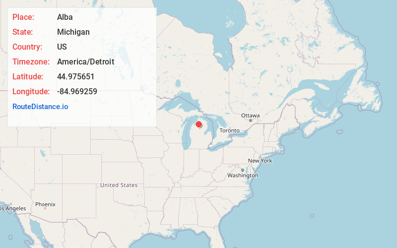
Alba
Michigan
US
America/Detroit
Location Information
-
Full AddressAlba, MI
-
Coordinates44.9756507, -84.9692589
-
LocationAlba , Michigan , US
-
TimezoneAmerica/Detroit
-
Current Local Time6:48:48 PM America/DetroitSaturday, May 3, 2025
-
Page Views0
Directions to Nearest Cities
About Alba
Alba is an unincorporated community and census-designated place located in Antrim County in the U.S. state of Michigan. The population was 287 at the 2020 census.
Located just north of Mancelona along U.S. Route 131, Alba is divided between Star Township on the east and Chestonia Township on the west.
Nearby Places
Found 10 places within 50 miles

Lakes of the North
5.3 mi
8.5 km
Lakes of the North, MI
Get directions

Mancelona
6.8 mi
10.9 km
Mancelona, MI 49659
Get directions

Bellaire
11.8 mi
19.0 km
Bellaire, MI 49615
Get directions

East Jordan
14.7 mi
23.7 km
East Jordan, MI 49727
Get directions

Gaylord
14.8 mi
23.8 km
Gaylord, MI 49735
Get directions

Central Lake
15.8 mi
25.4 km
Central Lake, MI 49622
Get directions

Boyne City
16.8 mi
27.0 km
Boyne City, MI 49712
Get directions
Rapid City
18.2 mi
29.3 km
Rapid City, MI 49676
Get directions

Vanderbilt
19.0 mi
30.6 km
Vanderbilt, MI 49795
Get directions

Kalkaska
19.4 mi
31.2 km
Kalkaska, MI 49646
Get directions
Lakes of the North
5.3 mi
8.5 km
Lakes of the North, MI
Mancelona
6.8 mi
10.9 km
Mancelona, MI 49659
Bellaire
11.8 mi
19.0 km
Bellaire, MI 49615
East Jordan
14.7 mi
23.7 km
East Jordan, MI 49727
Gaylord
14.8 mi
23.8 km
Gaylord, MI 49735
Central Lake
15.8 mi
25.4 km
Central Lake, MI 49622
Boyne City
16.8 mi
27.0 km
Boyne City, MI 49712
Rapid City
18.2 mi
29.3 km
Rapid City, MI 49676
Vanderbilt
19.0 mi
30.6 km
Vanderbilt, MI 49795
Kalkaska
19.4 mi
31.2 km
Kalkaska, MI 49646
Location Links
Local Weather
Weather Information
Coming soon!
Location Map
Static map view of Alba, Michigan
Browse Places by Distance
Places within specific distances from Alba
Short Distances
Long Distances
Click any distance to see all places within that range from Alba. Distances shown in miles (1 mile ≈ 1.61 kilometers).