Distance to Vanderbilt, Michigan

Calculating Your Route
Just a moment while we process your request...
Location Information
-
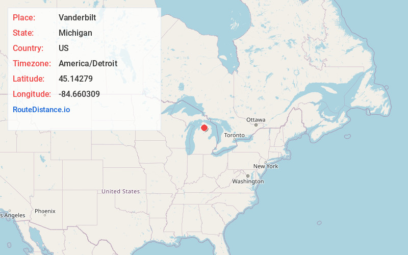
Full AddressVanderbilt, MI 49795
-
Coordinates45.1427903, -84.6603091
-
LocationVanderbilt , Michigan , US
-
TimezoneAmerica/Detroit
-
Current Local Time3:44:14 PM America/DetroitFriday, June 20, 2025
-
Page Views0
About Vanderbilt
Vanderbilt is a village in Otsego County in the U.S. state of Michigan. The population was 498 at the 2020 census. The village is located within Corwith Township.
Vanderbilt holds the record for the coldest recorded temperature in the state of Michigan when it reached −51 °F on February 9, 1934.


Nearby Places
Found 10 places within 50 miles

Gaylord
8.0 mi
12.9 km
Gaylord, MI 49735
Get directions

Boyne City
18.0 mi
29.0 km
Boyne City, MI 49712
Get directions

Lakes of the North
18.1 mi
29.1 km
Lakes of the North, MI
Get directions

Indian River
18.8 mi
30.3 km
Indian River, MI 49749
Get directions

Petoskey
21.6 mi
34.8 km
Petoskey, MI 49770
Get directions

Alanson
21.7 mi
34.9 km
Alanson, MI 49706
Get directions

East Jordan
22.6 mi
36.4 km
East Jordan, MI 49727
Get directions

Lewiston
24.9 mi
40.1 km
Lewiston, MI 49756
Get directions

Harbor Springs
25.7 mi
41.4 km
Harbor Springs, MI 49740
Get directions

Mancelona
25.7 mi
41.4 km
Mancelona, MI 49659
Get directions
Location Links
Local Weather
Weather Information
Coming soon!
Location Map
Static map view of Vanderbilt, Michigan
Browse Places by Distance
Places within specific distances from Vanderbilt
Short Distances
Long Distances
Click any distance to see all places within that range from Vanderbilt. Distances shown in miles (1 mile ≈ 1.61 kilometers).