Distance to Albany, Indiana

Calculating Your Route
Just a moment while we process your request...
Location Information
-
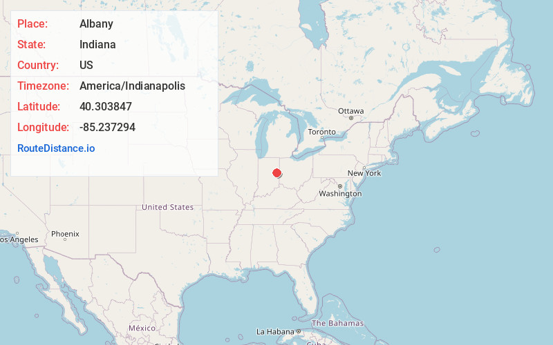
Full AddressAlbany, IN 47320
-
Coordinates40.3038467, -85.2372935
-
LocationAlbany , Indiana , US
-
TimezoneAmerica/Indianapolis
-
Page Views0
About Albany
Albany is a town in Delaware and Randolph counties in the U.S. state of Indiana, along the Mississinewa River. The population was 2,295 at the 2020 census. It is part of the Muncie, IN Metropolitan Statistical Area.


Nearby Places
Found 10 places within 50 miles

Muncie
11.0 mi
17.7 km
Muncie, IN
Get directions

Hartford City
12.3 mi
19.8 km
Hartford City, IN 47348
Get directions

Yorktown
15.4 mi
24.8 km
Yorktown, IN
Get directions

Winchester
16.3 mi
26.2 km
Winchester, IN 47394
Get directions

Portland
16.4 mi
26.4 km
Portland, IN 47371
Get directions

Upland
18.0 mi
29.0 km
Upland, IN 46989
Get directions

Alexandria
23.2 mi
37.3 km
Alexandria, IN 46001
Get directions

Gas City
23.5 mi
37.8 km
Gas City, IN
Get directions

Union City
23.7 mi
38.1 km
Union City, IN 47390
Get directions

New Castle
26.8 mi
43.1 km
New Castle, IN 47362
Get directions
Location Links
Local Weather
Weather Information
Coming soon!
Location Map
Static map view of Albany, Indiana
Browse Places by Distance
Places within specific distances from Albany
Short Distances
Long Distances
Click any distance to see all places within that range from Albany. Distances shown in miles (1 mile ≈ 1.61 kilometers).