Distance to and from Alberta, Virginia
Alberta, VA
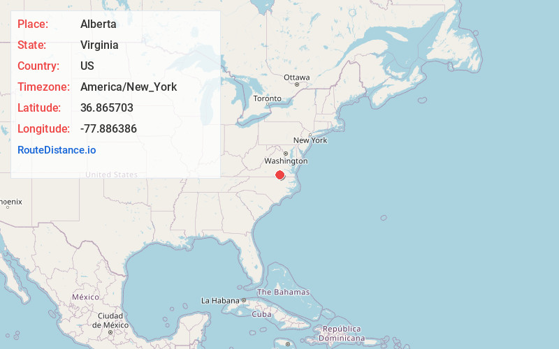
Alberta
Virginia
US
America/New_York
Location Information
-
Full AddressAlberta, VA
-
Coordinates36.8657034, -77.8863857
-
LocationAlberta , Virginia , US
-
TimezoneAmerica/New_York
-
Current Local Time6:59:53 PM America/New_YorkSaturday, May 3, 2025
-
Page Views0
Directions to Nearest Cities
About Alberta
Alberta is a town in Brunswick County, Virginia, United States. The population was 302 at the 2020 census. It is home to the Christanna Campus of Southside Virginia Community College.
Nearby Places
Found 10 places within 50 miles

Lawrenceville
7.8 mi
12.6 km
Lawrenceville, VA 23868
Get directions

McKenney
12.3 mi
19.8 km
McKenney, VA 23872
Get directions

Brodnax
13.6 mi
21.9 km
Brodnax, VA 23920
Get directions

Kenbridge
14.8 mi
23.8 km
Kenbridge, VA 23944
Get directions

Blackstone
16.0 mi
25.7 km
Blackstone, VA 23824
Get directions

La Crosse
16.5 mi
26.6 km
La Crosse, VA
Get directions

South Hill
16.5 mi
26.6 km
South Hill, VA
Get directions
Gasburg
20.7 mi
33.3 km
Gasburg, VA
Get directions

Victoria
20.8 mi
33.5 km
Victoria, VA 23974
Get directions

Emporia
22.7 mi
36.5 km
Emporia, VA 23847
Get directions
Lawrenceville
7.8 mi
12.6 km
Lawrenceville, VA 23868
McKenney
12.3 mi
19.8 km
McKenney, VA 23872
Brodnax
13.6 mi
21.9 km
Brodnax, VA 23920
Kenbridge
14.8 mi
23.8 km
Kenbridge, VA 23944
Blackstone
16.0 mi
25.7 km
Blackstone, VA 23824
La Crosse
16.5 mi
26.6 km
La Crosse, VA
South Hill
16.5 mi
26.6 km
South Hill, VA
Gasburg
20.7 mi
33.3 km
Gasburg, VA
Victoria
20.8 mi
33.5 km
Victoria, VA 23974
Emporia
22.7 mi
36.5 km
Emporia, VA 23847
Location Links
Local Weather
Weather Information
Coming soon!
Location Map
Static map view of Alberta, Virginia
Browse Places by Distance
Places within specific distances from Alberta
Short Distances
Long Distances
Click any distance to see all places within that range from Alberta. Distances shown in miles (1 mile ≈ 1.61 kilometers).