Distance to Albion, Indiana

Calculating Your Route
Just a moment while we process your request...
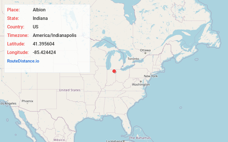
Location Information
-
Full AddressAlbion, IN 46701
-
Coordinates41.3956043, -85.4244241
-
LocationAlbion , Indiana , US
-
TimezoneAmerica/Indianapolis
-
Website
-
Page Views0
About Albion
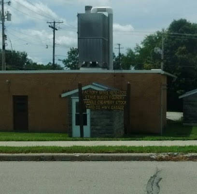
Albion is a town in Albion and Jefferson townships, Noble County, in the U.S. state of Indiana. The population was 2,349 at the 2010 census. The city is the county seat of Noble County.


Nearby Places
Found 10 places within 50 miles

Kendallville
8.8 mi
14.2 km
Kendallville, IN 46755
Get directions

Ligonier
9.7 mi
15.6 km
Ligonier, IN 46767
Get directions

Garrett
15.3 mi
24.6 km
Garrett, IN
Get directions

Columbia City
16.8 mi
27.0 km
Columbia City, IN 46725
Get directions

Syracuse
17.2 mi
27.7 km
Syracuse, IN 46567
Get directions

Huntertown
17.5 mi
28.2 km
Huntertown, IN
Get directions

Auburn
19.1 mi
30.7 km
Auburn, IN
Get directions

Winona Lake
23.7 mi
38.1 km
Winona Lake, IN
Get directions

Middlebury
24.1 mi
38.8 km
Middlebury, IN 46540
Get directions

Leo-Cedarville
24.7 mi
39.8 km
Leo-Cedarville, IN
Get directions
Location Links
Local Weather
Weather Information
Coming soon!
Location Map
Static map view of Albion, Indiana
Browse Places by Distance
Places within specific distances from Albion
Short Distances
Long Distances
Click any distance to see all places within that range from Albion. Distances shown in miles (1 mile ≈ 1.61 kilometers).