Distance to and from Garrett, Indiana
Garrett, IN
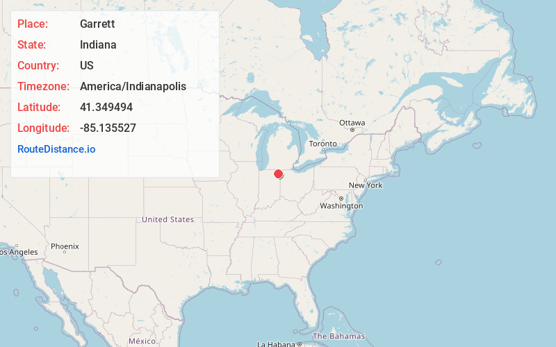
Garrett
Indiana
US
America/Indianapolis
Location Information
-
Full AddressGarrett, IN
-
Coordinates41.3494939, -85.1355267
-
LocationGarrett , Indiana , US
-
TimezoneAmerica/Indianapolis
-
Website
-
Page Views0
Directions to Nearest Cities
About Garrett
Garrett is a city in Keyser Township, DeKalb County, Indiana, United States. The population was 6,286 at the 2010 census.

Nearby Places
Found 10 places within 50 miles

Auburn
4.2 mi
6.8 km
Auburn, IN
Get directions

Huntertown
8.6 mi
13.8 km
Huntertown, IN
Get directions

Kendallville
9.2 mi
14.8 km
Kendallville, IN 46755
Get directions

Fort Wayne
18.7 mi
30.1 km
Fort Wayne, IN
Get directions

New Haven
20.3 mi
32.7 km
New Haven, IN
Get directions

Angola
20.9 mi
33.6 km
Angola, IN 46703
Get directions

Columbia City
22.6 mi
36.4 km
Columbia City, IN 46725
Get directions

Bryan
31.4 mi
50.5 km
Bryan, OH 43506
Get directions

Sturgis
34.4 mi
55.4 km
Sturgis, MI 49091
Get directions

Huntington
37.3 mi
60.0 km
Huntington, IN 46750
Get directions
Auburn
4.2 mi
6.8 km
Auburn, IN
Huntertown
8.6 mi
13.8 km
Huntertown, IN
Kendallville
9.2 mi
14.8 km
Kendallville, IN 46755
Fort Wayne
18.7 mi
30.1 km
Fort Wayne, IN
New Haven
20.3 mi
32.7 km
New Haven, IN
Angola
20.9 mi
33.6 km
Angola, IN 46703
Columbia City
22.6 mi
36.4 km
Columbia City, IN 46725
Bryan
31.4 mi
50.5 km
Bryan, OH 43506
Sturgis
34.4 mi
55.4 km
Sturgis, MI 49091
Huntington
37.3 mi
60.0 km
Huntington, IN 46750
Location Links
Local Weather
Weather Information
Coming soon!
Location Map
Static map view of Garrett, Indiana
Browse Places by Distance
Places within specific distances from Garrett
Short Distances
Long Distances
Click any distance to see all places within that range from Garrett. Distances shown in miles (1 mile ≈ 1.61 kilometers).