Distance to Sturgis, Michigan

Calculating Your Route
Just a moment while we process your request...
Location Information
-
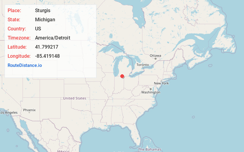
Full AddressSturgis, MI 49091
-
Coordinates41.799217, -85.4191482
-
LocationSturgis , Michigan , US
-
TimezoneAmerica/Detroit
-
Current Local Time12:00:29 AM America/DetroitFriday, June 20, 2025
-
Page Views0
About Sturgis
Sturgis is a city in St. Joseph County in the U.S. state of Michigan. The population was 11,082 at the 2020 census. The city is located at the northeast corner of Sturgis Township and at the intersection of US 12 and M-66. Sturgis is just north of the Michigan–Indiana border and the I-80/90 Indiana Toll Road.


Nearby Places
Found 10 places within 50 miles

Coldwater
23.6 mi
38.0 km
Coldwater, MI 49036
Get directions

Goshen
25.9 mi
41.7 km
Goshen, IN
Get directions

Portage
29.1 mi
46.8 km
Portage, MI
Get directions

Elkhart
29.6 mi
47.6 km
Elkhart, IN
Get directions

Kalamazoo
34.9 mi
56.2 km
Kalamazoo, MI
Get directions

Auburn
35.2 mi
56.6 km
Auburn, IN
Get directions

Granger
35.8 mi
57.6 km
Granger, IN
Get directions

Battle Creek
38.1 mi
61.3 km
Battle Creek, MI
Get directions

Mishawaka
39.3 mi
63.2 km
Mishawaka, IN
Get directions

Niles
43.1 mi
69.4 km
Niles, MI 49120
Get directions
Location Links
Local Weather
Weather Information
Coming soon!
Location Map
Static map view of Sturgis, Michigan
Browse Places by Distance
Places within specific distances from Sturgis
Short Distances
Long Distances
Click any distance to see all places within that range from Sturgis. Distances shown in miles (1 mile ≈ 1.61 kilometers).