Distance to Niles, Michigan

Calculating Your Route
Just a moment while we process your request...
Location Information
-
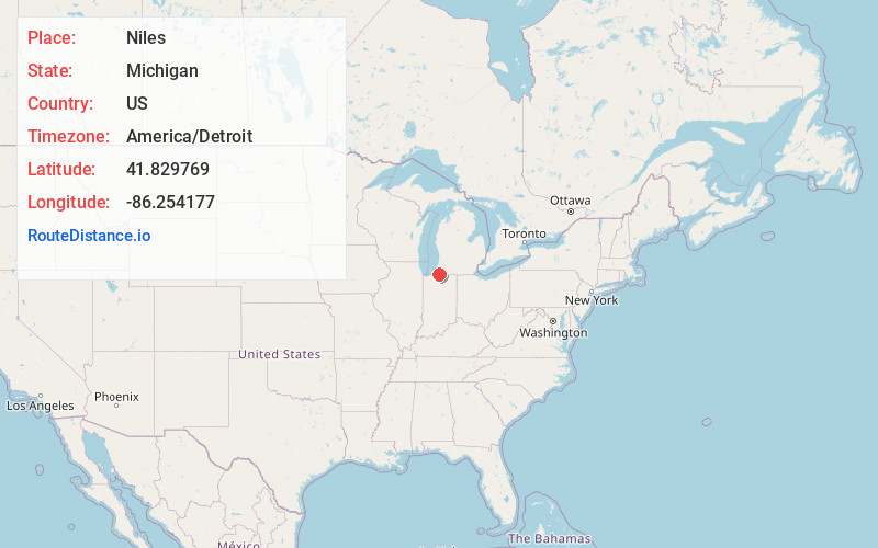
Full AddressNiles, MI 49120
-
Coordinates41.8297694, -86.2541768
-
LocationNiles , Michigan , US
-
TimezoneAmerica/Detroit
-
Current Local Time12:03:27 AM America/DetroitSunday, May 25, 2025
-
Website
-
Page Views0
About Niles
Niles is a city in Berrien and Cass counties in the U.S. state of Michigan, near the Indiana state line city of South Bend. The population was 11,988 according to the 2020 census. It is the larger, by population, of the two principal cities in the Niles-Benton Harbor metropolitan area, an area with 153,797 people.


Nearby Places
Found 10 places within 50 miles

Granger
9.1 mi
14.6 km
Granger, IN
Get directions

South Bend
10.6 mi
17.1 km
South Bend, IN
Get directions

Mishawaka
12.6 mi
20.3 km
Mishawaka, IN
Get directions

Elkhart
17.5 mi
28.2 km
Elkhart, IN
Get directions

Goshen
27.3 mi
43.9 km
Goshen, IN
Get directions

La Porte
28.5 mi
45.9 km
La Porte, IN 46350
Get directions

Michigan City
34.1 mi
54.9 km
Michigan City, IN 46360
Get directions

Portage
42.6 mi
68.6 km
Portage, MI
Get directions

Chesterton
44.4 mi
71.5 km
Chesterton, IN 46304
Get directions

Warsaw
45.8 mi
73.7 km
Warsaw, IN
Get directions
Location Links
Local Weather
Weather Information
Coming soon!
Location Map
Static map view of Niles, Michigan
Browse Places by Distance
Places within specific distances from Niles
Short Distances
Long Distances
Click any distance to see all places within that range from Niles. Distances shown in miles (1 mile ≈ 1.61 kilometers).