Distance to Granger, Indiana

Calculating Your Route
Just a moment while we process your request...
Location Information
-
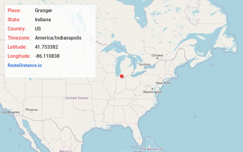
Full AddressGranger, IN
-
Coordinates41.7533819, -86.1108377
-
LocationGranger , Indiana , US
-
TimezoneAmerica/Indianapolis
-
Page Views0
About Granger
Granger is a census-designated place in Clay and Harris townships, St. Joseph County, in the U.S. state of Indiana. The population was 30,465 at the 2010 census. Penn-Harris-Madison School Corporation and the South Bend Community School Corporation maintain the public schools in the area.


Nearby Places
Found 7 places within 50 miles

Mishawaka
6.8 mi
10.9 km
Mishawaka, IN
Get directions

Elkhart
8.4 mi
13.5 km
Elkhart, IN
Get directions

South Bend
9.0 mi
14.5 km
South Bend, IN
Get directions

Goshen
18.2 mi
29.3 km
Goshen, IN
Get directions

Michigan City
40.6 mi
65.3 km
Michigan City, IN 46360
Get directions

Portage
40.8 mi
65.7 km
Portage, MI
Get directions

Kalamazoo
45.8 mi
73.7 km
Kalamazoo, MI
Get directions
Location Links
Local Weather
Weather Information
Coming soon!
Location Map
Static map view of Granger, Indiana
Browse Places by Distance
Places within specific distances from Granger
Short Distances
Long Distances
Click any distance to see all places within that range from Granger. Distances shown in miles (1 mile ≈ 1.61 kilometers).