Distance to Albion, Montana

Calculating Your Route
Just a moment while we process your request...
Location Information
-
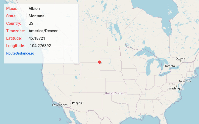
Full AddressAlbion, MT 59311
-
Coordinates45.1872104, -104.2768916
-
LocationAlbion , Montana , US
-
TimezoneAmerica/Denver
-
Current Local Time4:47:24 PM America/DenverTuesday, June 17, 2025
-
Page Views0

Nearby Places
Found 10 places within 50 miles

Camp Crook
29.1 mi
46.8 km
Camp Crook, SD 57724
Get directions

Hammond
31.3 mi
50.4 km
Hammond, MT 59332
Get directions
Belltower
31.5 mi
50.7 km
Belltower, MT 59324
Get directions
Redig
35.9 mi
57.8 km
Redig, SD 57760
Get directions
Ridge
37.5 mi
60.4 km
Ridge, MT 59311
Get directions

Hulett
38.3 mi
61.6 km
Hulett, WY 82720
Get directions
Belle Creek
40.8 mi
65.7 km
Belle Creek, MT 59317
Get directions

Belle Fourche
41.3 mi
66.5 km
Belle Fourche, SD 57717
Get directions

Harding County
41.3 mi
66.5 km
Harding County, SD
Get directions
New Haven
41.3 mi
66.5 km
New Haven, WY 82720
Get directions
Location Links
Local Weather
Weather Information
Coming soon!
Location Map
Static map view of Albion, Montana
Browse Places by Distance
Places within specific distances from Albion
Short Distances
Long Distances
Click any distance to see all places within that range from Albion. Distances shown in miles (1 mile ≈ 1.61 kilometers).