Distance to Alcalde, Kentucky

Calculating Your Route
Just a moment while we process your request...
Location Information
-
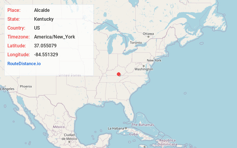
Full AddressAlcalde, KY 42501
-
Coordinates37.0550785, -84.5513292
-
LocationAlcalde , Kentucky , US
-
TimezoneAmerica/New_York
-
Current Local Time2:17:42 AM America/New_YorkWednesday, June 18, 2025
-
Page Views0
About Alcalde
Alcalde is an unincorporated community in Pulaski County, Kentucky, United States. Alcalde is located on Kentucky Route 769 at Pitman Creek, 4 miles southeast of Somerset.
Nearby Places
Found 10 places within 50 miles

Ferguson
2.8 mi
4.5 km
Ferguson, KY
Get directions

Colo
3.8 mi
6.1 km
Colo, KY 42501
Get directions

Somerset
3.9 mi
6.3 km
Somerset, KY
Get directions

Burnside
5.3 mi
8.5 km
Burnside, KY
Get directions
Dykes
6.4 mi
10.3 km
Dykes, KY 42501
Get directions
Tateville
6.5 mi
10.5 km
Tateville, KY 42519
Get directions
Barnesburg
6.5 mi
10.5 km
Barnesburg, KY 42503
Get directions
Shafter
8.2 mi
13.2 km
Shafter, KY 42503
Get directions
Alpine
9.1 mi
14.6 km
Alpine, KY 42519
Get directions
Oil Center
9.3 mi
15.0 km
Oil Center, KY 42553
Get directions
Location Links
Local Weather
Weather Information
Coming soon!
Location Map
Static map view of Alcalde, Kentucky
Browse Places by Distance
Places within specific distances from Alcalde
Short Distances
Long Distances
Click any distance to see all places within that range from Alcalde. Distances shown in miles (1 mile ≈ 1.61 kilometers).