Distance to Burnside, Kentucky

Calculating Your Route
Just a moment while we process your request...
Location Information
-
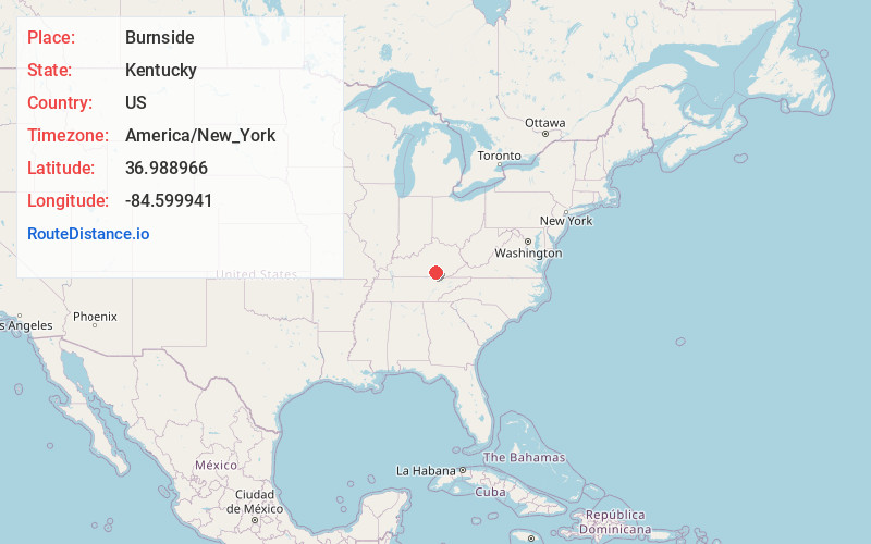
Full AddressBurnside, KY
-
Coordinates36.9889661, -84.5999405
-
LocationBurnside , Kentucky , US
-
TimezoneAmerica/New_York
-
Current Local Time12:20:05 AM America/New_YorkThursday, June 19, 2025
-
Page Views0
About Burnside
Burnside is a home rule-class city in Pulaski County, Kentucky, United States. The population was 611 at the 2010 census. In 2004, Burnside became the only town in Pulaski County or any adjoining county to allow the sale of alcoholic beverages in qualified establishments.


Nearby Places
Found 10 places within 50 miles

Somerset
7.1 mi
11.4 km
Somerset, KY
Get directions

Cumberland Falls
17.5 mi
28.2 km
Cumberland Falls, Kentucky 42634
Get directions

Monticello
17.6 mi
28.3 km
Monticello, KY 42633
Get directions

Whitley City
19.7 mi
31.7 km
Whitley City, KY 42653
Get directions

Stearns
21.2 mi
34.1 km
Stearns, KY
Get directions

Pine Knot
25.0 mi
40.2 km
Pine Knot, KY
Get directions

Jamestown
25.6 mi
41.2 km
Jamestown, KY
Get directions

Russell Springs
27.4 mi
44.1 km
Russell Springs, KY 42642
Get directions

Corbin
27.9 mi
44.9 km
Corbin, KY 40701
Get directions

North Corbin
28.0 mi
45.1 km
North Corbin, KY 40701
Get directions
Location Links
Local Weather
Weather Information
Coming soon!
Location Map
Static map view of Burnside, Kentucky
Browse Places by Distance
Places within specific distances from Burnside
Short Distances
Long Distances
Click any distance to see all places within that range from Burnside. Distances shown in miles (1 mile ≈ 1.61 kilometers).