Distance to Alcester, South Dakota

Calculating Your Route
Just a moment while we process your request...
Location Information
-
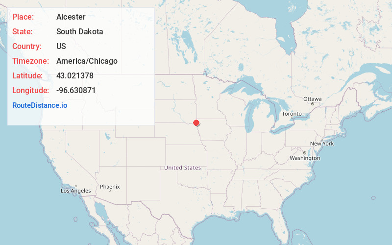
Full AddressAlcester, SD 57001
-
Coordinates43.0213783, -96.6308708
-
LocationAlcester , South Dakota , US
-
TimezoneAmerica/Chicago
-
Current Local Time10:04:53 PM America/ChicagoTuesday, June 17, 2025
-
Website
-
Page Views0
About Alcester
Alcester is a city in northern Union County, South Dakota, United States. It is part of the Sioux City, IA–NE–SD Metropolitan Statistical Area. The population was 820 at the 2020 census.
Nearby Places
Found 10 places within 50 miles

Hawarden
7.4 mi
11.9 km
Hawarden, IA 51023
Get directions

Beresford
8.3 mi
13.4 km
Beresford, SD 57004
Get directions

Akron
13.8 mi
22.2 km
Akron, IA 51001
Get directions

Canton
19.4 mi
31.2 km
Canton, SD 57013
Get directions

Rock Valley
21.2 mi
34.1 km
Rock Valley, IA 51247
Get directions

Worthing
22.3 mi
35.9 km
Worthing, SD 57077
Get directions

Vermillion
22.5 mi
36.2 km
Vermillion, SD 57069
Get directions

Sioux Center
23.3 mi
37.5 km
Sioux Center, IA 51250
Get directions

Elk Point
23.5 mi
37.8 km
Elk Point, SD 57025
Get directions

Lennox
26.5 mi
42.6 km
Lennox, SD 57039
Get directions
Location Links
Local Weather
Weather Information
Coming soon!
Location Map
Static map view of Alcester, South Dakota
Browse Places by Distance
Places within specific distances from Alcester
Short Distances
Long Distances
Click any distance to see all places within that range from Alcester. Distances shown in miles (1 mile ≈ 1.61 kilometers).