Distance to Aldergrove, British Columbia

Calculating Your Route
Just a moment while we process your request...
Location Information
-
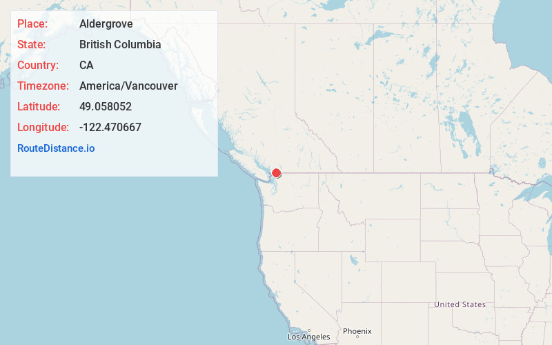
Full AddressAldergrove, Langley Twp, BC, Canada
-
Coordinates49.0580516, -122.4706669
-
NeighborhoodAldergrove
-
LocationLangley Twp , British Columbia , CA
-
TimezoneAmerica/Vancouver
-
Current Local Time4:31:15 AM America/VancouverTuesday, June 10, 2025
-
Page Views0
About Aldergrove
Aldergrove is a community in the Township of Langley within British Columbia, Canada, approximately 59 km east of Vancouver. The community is urban in nature and, although not incorporated as a town, is often referred to as one.


Nearby Places
Found 10 places within 50 miles

Abbotsford
7.5 mi
12.1 km
Abbotsford, BC, Canada
Get directions

Lynden
8.0 mi
12.9 km
Lynden, WA 98264
Get directions

Mission
8.3 mi
13.4 km
Mission, BC, Canada
Get directions

Clearbrook
8.7 mi
14.0 km
Clearbrook, WA 98295
Get directions

Sumas
10.1 mi
16.3 km
Sumas, WA 98295
Get directions

Everson
11.2 mi
18.0 km
Everson, WA 98247
Get directions

Nooksack
11.3 mi
18.2 km
Nooksack, WA
Get directions

Custer
12.3 mi
19.8 km
Custer, WA
Get directions

Blaine
13.3 mi
21.4 km
Blaine, WA
Get directions

Peace Arch
13.5 mi
21.7 km
Peace Arch, Surrey, BC V3Z 9N7, Canada
Get directions
Location Links
Local Weather
Weather Information
Coming soon!
Location Map
Static map view of Aldergrove, British Columbia
Browse Places by Distance
Places within specific distances from Aldergrove
Short Distances
Long Distances
Click any distance to see all places within that range from Aldergrove. Distances shown in miles (1 mile ≈ 1.61 kilometers).