Distance to Peace Arch, British Columbia

Calculating Your Route
Just a moment while we process your request...
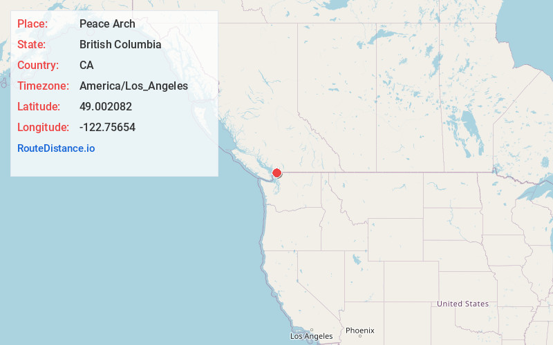
Location Information
-
Full AddressPeace Arch, Surrey, BC V3Z 9N7, Canada
-
Coordinates49.0020819, -122.7565395
-
LocationSurrey , British Columbia , CA
-
TimezoneAmerica/Los_Angeles
-
Current Local Time6:25:37 PM America/Los_AngelesFriday, May 30, 2025
-
Page Views0
About Peace Arch
Park with lawns, gardens & monument on the U.S./ Canada border to mark the 1812 treaties.


Nearby Places
Found 10 places within 50 miles

Blaine
0.7 mi
1.1 km
Blaine, WA
Get directions

Birch Bay
5.8 mi
9.3 km
Birch Bay, WA
Get directions

Point Whitehorn
7.6 mi
12.2 km
Point Whitehorn, Birch Bay, WA
Get directions

Custer
8.0 mi
12.9 km
Custer, WA
Get directions

Kickerville
8.4 mi
13.5 km
Kickerville, WA 98248
Get directions

Mountain View
11.3 mi
18.2 km
Mountain View, WA 98248
Get directions

Neptune Beach
13.1 mi
21.1 km
Neptune Beach, WA 98248
Get directions

Ferndale
13.1 mi
21.1 km
Ferndale, WA
Get directions

Point Roberts
13.6 mi
21.9 km
Point Roberts, WA
Get directions

Surrey
13.7 mi
22.0 km
Surrey, BC, Canada
Get directions
Location Links
Local Weather
Weather Information
Coming soon!
Location Map
Static map view of Peace Arch, British Columbia
Browse Places by Distance
Places within specific distances from Peace Arch
Short Distances
Long Distances
Click any distance to see all places within that range from Peace Arch. Distances shown in miles (1 mile ≈ 1.61 kilometers).