Distance to Surrey, British Columbia

Calculating Your Route
Just a moment while we process your request...
Location Information
-
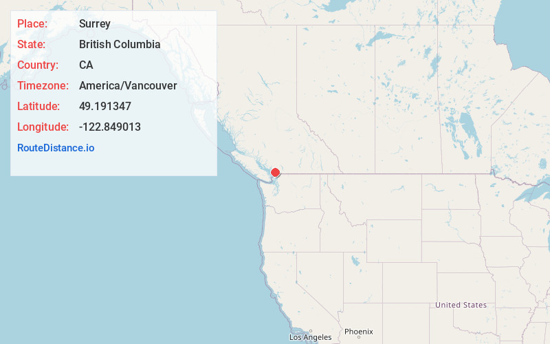
Full AddressSurrey, BC, Canada
-
Coordinates49.1913466, -122.8490125
-
LocationSurrey , British Columbia , CA
-
TimezoneAmerica/Vancouver
-
Current Local Time12:57:54 PM America/VancouverWednesday, July 2, 2025
-
Website
-
Page Views0
About Surrey
Surrey is a city in British Columbia, Canada. It’s part of the Metro Vancouver area and lies between the Fraser River and the U.S. border. In Peace Arch Provincial Park, a white arch marks the international boundary between Canada and the U.S. On Boundary Bay, the Ocean Point Shoreline Walk curls along Crescent Beach. Migrating birds gather at Blackie Spit. The Historic Stewart Farm is a late-1800s pioneer home.


Nearby Places
Found 10 places within 50 miles

Vancouver
13.8 mi
22.2 km
Vancouver, BC, Canada
Get directions

Blaine
14.4 mi
23.2 km
Blaine, WA
Get directions

Point Roberts
16.9 mi
27.2 km
Point Roberts, WA
Get directions

Birch Bay
19.5 mi
31.4 km
Birch Bay, WA
Get directions

Point Whitehorn
20.7 mi
33.3 km
Point Whitehorn, Birch Bay, WA
Get directions

Custer
21.2 mi
34.1 km
Custer, WA
Get directions

Kickerville
22.2 mi
35.7 km
Kickerville, WA 98248
Get directions

Lynden
24.8 mi
39.9 km
Lynden, WA 98264
Get directions

Mountain View
25.0 mi
40.2 km
Mountain View, WA 98248
Get directions

Ferndale
26.5 mi
42.6 km
Ferndale, WA
Get directions
Location Links
Local Weather
Weather Information
Coming soon!
Location Map
Static map view of Surrey, British Columbia
Browse Places by Distance
Places within specific distances from Surrey
Short Distances
Long Distances
Click any distance to see all places within that range from Surrey. Distances shown in miles (1 mile ≈ 1.61 kilometers).