Distance to Aldora, Georgia

Calculating Your Route
Just a moment while we process your request...
Location Information
-
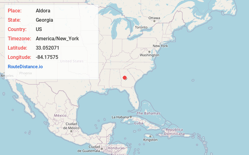
Full AddressAldora, GA 30204
-
Coordinates33.0520707, -84.1757503
-
LocationAldora , Georgia , US
-
TimezoneAmerica/New_York
-
Current Local Time3:58:39 AM America/New_YorkWednesday, June 18, 2025
-
Page Views0
About Aldora
Aldora is a town in Lamar County, Georgia, United States. As of the 2020 census, the city had a recorded population of 0, due to a "0 percent self-response rate" to the 2020 census. The actual population was estimated at 103.
Nearby Places
Found 10 places within 50 miles

Barnesville
1.2 mi
1.9 km
Barnesville, GA 30204
Get directions

Milner
4.6 mi
7.4 km
Milner, GA
Get directions

The Rock
7.2 mi
11.6 km
The Rock, GA 30285
Get directions

Meansville
7.6 mi
12.2 km
Meansville, GA 30256
Get directions

Orchard Hill
9.5 mi
15.3 km
Orchard Hill, GA
Get directions

Yatesville
9.7 mi
15.6 km
Yatesville, GA 31097
Get directions

Zebulon
10.3 mi
16.6 km
Zebulon, GA
Get directions

Hannahs Mill
13.0 mi
20.9 km
Hannahs Mill, GA 30286
Get directions

East Griffin
13.6 mi
21.9 km
East Griffin, GA 30223
Get directions

Forsyth
13.8 mi
22.2 km
Forsyth, GA 31029
Get directions
Location Links
Local Weather
Weather Information
Coming soon!
Location Map
Static map view of Aldora, Georgia
Browse Places by Distance
Places within specific distances from Aldora
Short Distances
Long Distances
Click any distance to see all places within that range from Aldora. Distances shown in miles (1 mile ≈ 1.61 kilometers).