Distance to Barnesville, Georgia

Calculating Your Route
Just a moment while we process your request...
Location Information
-
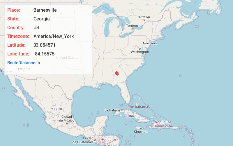
Full AddressBarnesville, GA 30204
-
Coordinates33.0545709, -84.1557495
-
LocationBarnesville , Georgia , US
-
TimezoneAmerica/New_York
-
Current Local Time7:56:49 PM America/New_YorkThursday, June 19, 2025
-
Website
-
Page Views0
About Barnesville
Barnesville is a city in Lamar County, Georgia, United States. As of the 2010 census, the city had a population of 6,755, up from 5,972 at the 2000 census. The city is the county seat of Lamar County and is just outside of the Atlanta metropolitan area.


Nearby Places
Found 10 places within 50 miles

Griffin
14.7 mi
23.7 km
Griffin, GA
Get directions

Thomaston
15.2 mi
24.5 km
Thomaston, GA 30286
Get directions

Locust Grove
20.3 mi
32.7 km
Locust Grove, GA
Get directions

Hampton
24.0 mi
38.6 km
Hampton, GA 30228
Get directions

McDonough
27.1 mi
43.6 km
McDonough, GA
Get directions

Lovejoy
27.9 mi
44.9 km
Lovejoy, GA
Get directions

Irondale
31.5 mi
50.7 km
Irondale, GA 30238
Get directions

Fayetteville
32.3 mi
52.0 km
Fayetteville, GA
Get directions

Macon
33.9 mi
54.6 km
Macon, GA
Get directions

Stockbridge
34.1 mi
54.9 km
Stockbridge, GA
Get directions
Location Links
Local Weather
Weather Information
Coming soon!
Location Map
Static map view of Barnesville, Georgia
Browse Places by Distance
Places within specific distances from Barnesville
Short Distances
Long Distances
Click any distance to see all places within that range from Barnesville. Distances shown in miles (1 mile ≈ 1.61 kilometers).