Distance to Thomaston, Georgia

Calculating Your Route
Just a moment while we process your request...
Location Information
-
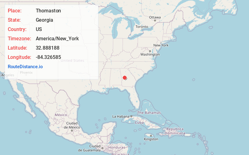
Full AddressThomaston, GA 30286
-
Coordinates32.8881879, -84.3265854
-
LocationThomaston , Georgia , US
-
TimezoneAmerica/New_York
-
Current Local Time4:19:01 AM America/New_YorkMonday, June 9, 2025
-
Page Views0
About Thomaston
Thomaston is a city in and the county seat of Upson County, Georgia, United States. The population was 9,816 at the 2020 census. It is the principal city of and is included in the Thomaston, Georgia Micropolitan Statistical Area, which is included in the Atlanta - Sandy Springs - Gainesville - Alabama CSA.


Nearby Places
Found 10 places within 50 miles

Griffin
25.0 mi
40.2 km
Griffin, GA
Get directions

Lovejoy
37.9 mi
61.0 km
Lovejoy, GA
Get directions

Fayetteville
39.4 mi
63.4 km
Fayetteville, GA
Get directions

McDonough
40.1 mi
64.5 km
McDonough, GA
Get directions

Macon
40.5 mi
65.2 km
Macon, GA
Get directions

LaGrange
42.2 mi
67.9 km
LaGrange, GA
Get directions

Newnan
43.7 mi
70.3 km
Newnan, GA
Get directions

Warner Robins
45.0 mi
72.4 km
Warner Robins, GA
Get directions

Perry
45.6 mi
73.4 km
Perry, GA
Get directions

Stockbridge
45.7 mi
73.5 km
Stockbridge, GA
Get directions
Location Links
Local Weather
Weather Information
Coming soon!
Location Map
Static map view of Thomaston, Georgia
Browse Places by Distance
Places within specific distances from Thomaston
Short Distances
Long Distances
Click any distance to see all places within that range from Thomaston. Distances shown in miles (1 mile ≈ 1.61 kilometers).