Distance to Stockbridge, Georgia

Calculating Your Route
Just a moment while we process your request...
Location Information
-
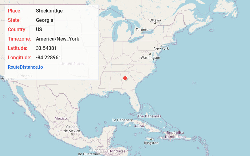
Full AddressStockbridge, GA
-
Coordinates33.5438096, -84.2289608
-
LocationStockbridge , Georgia , US
-
TimezoneAmerica/New_York
-
Current Local Time12:17:41 PM America/New_YorkFriday, May 30, 2025
-
Page Views0
About Stockbridge
Stockbridge is a city in Henry County, Georgia, United States. As of 2020, its population was 28,973. Stockbridge is part of the Atlanta metropolitan area.


Nearby Places
Found 10 places within 50 miles

Redan
14.3 mi
23.0 km
Redan, GA
Get directions

East Point
15.3 mi
24.6 km
East Point, GA
Get directions

Atlanta
17.0 mi
27.4 km
Atlanta, GA
Get directions

Tucker
21.5 mi
34.6 km
Tucker, GA
Get directions

Brookhaven
23.0 mi
37.0 km
Brookhaven, GA
Get directions

South Fulton
24.2 mi
38.9 km
South Fulton, GA
Get directions

Chamblee
24.4 mi
39.3 km
Chamblee, GA
Get directions

Mableton
27.8 mi
44.7 km
Mableton, GA
Get directions

Sandy Springs
28.0 mi
45.1 km
Sandy Springs, GA
Get directions

Dunwoody
28.5 mi
45.9 km
Dunwoody, GA
Get directions
Location Links
Local Weather
Weather Information
Coming soon!
Location Map
Static map view of Stockbridge, Georgia
Browse Places by Distance
Places within specific distances from Stockbridge
Short Distances
Long Distances
Click any distance to see all places within that range from Stockbridge. Distances shown in miles (1 mile ≈ 1.61 kilometers).