Distance to Tucker, Georgia

Calculating Your Route
Just a moment while we process your request...
Location Information
-
Full AddressTucker, GA
-
Coordinates33.8545479, -84.2171424
-
LocationTucker , Georgia , US
-
TimezoneAmerica/New_York
-
Current Local Time1:02:11 AM America/New_YorkSaturday, June 14, 2025
-
Page Views0
About Tucker
Tucker is a city located in DeKalb County, Georgia, United States, located near Atlanta and was originally settled in the 1820s, and later developed as a railroad community in 1892. According to the 2016 United States Census Bureau annual estimate of resident population, it has a population of 35,322.


Nearby Places
Found 10 places within 50 miles

Brookhaven
6.9 mi
11.1 km
Brookhaven, GA
Get directions

Peachtree Corners
7.1 mi
11.4 km
Peachtree Corners, GA
Get directions

Dunwoody
9.2 mi
14.8 km
Dunwoody, GA
Get directions

Sandy Springs
10.4 mi
16.7 km
Sandy Springs, GA
Get directions

Johns Creek
12.1 mi
19.5 km
Johns Creek, GA
Get directions

Atlanta
12.2 mi
19.6 km
Atlanta, GA
Get directions

Roswell
14.3 mi
23.0 km
Roswell, GA
Get directions

Alpharetta
15.8 mi
25.4 km
Alpharetta, GA
Get directions

Smyrna
17.2 mi
27.7 km
Smyrna, GA
Get directions

Milton
17.7 mi
28.5 km
Milton, GA
Get directions
Location Links
Local Weather
Weather Information
Coming soon!
Location Map
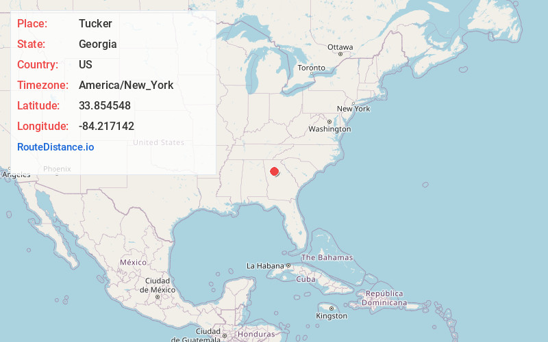
Static map view of Tucker, Georgia
Browse Places by Distance
Places within specific distances from Tucker
Short Distances
Long Distances
Click any distance to see all places within that range from Tucker. Distances shown in miles (1 mile ≈ 1.61 kilometers).