Distance to Smyrna, Georgia

Calculating Your Route
Just a moment while we process your request...
Location Information
-
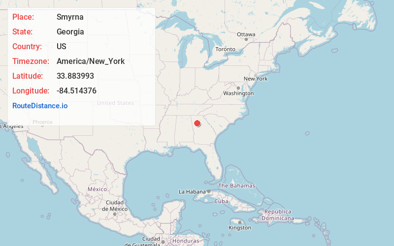
Full AddressSmyrna, GA
-
Coordinates33.8839926, -84.5143761
-
LocationSmyrna , Georgia , US
-
TimezoneAmerica/New_York
-
Current Local Time10:29:49 AM America/New_YorkThursday, June 19, 2025
-
Website
-
Page Views0
About Smyrna
Smyrna is a city in Cobb County, Georgia, United States. It is located northwest of Atlanta, and is in the inner ring of the Atlanta Metropolitan Area. It is included in the Atlanta–Sandy Springs–Alpharetta MSA, which is included in the Atlanta–Athens-Clarke–Sandy Springs CSA.
From 2000 to 2012, Smyrna grew by 28%.


Nearby Places
Found 10 places within 50 miles

Marietta
5.2 mi
8.4 km
Marietta, GA
Get directions

Sandy Springs
8.7 mi
14.0 km
Sandy Springs, GA
Get directions

Brookhaven
10.3 mi
16.6 km
Brookhaven, GA
Get directions

Dunwoody
11.2 mi
18.0 km
Dunwoody, GA
Get directions

Atlanta
11.7 mi
18.8 km
Atlanta, GA
Get directions

Roswell
13.0 mi
20.9 km
Roswell, GA
Get directions

South Fulton
16.9 mi
27.2 km
South Fulton, GA
Get directions

Alpharetta
18.3 mi
29.5 km
Alpharetta, GA
Get directions

Johns Creek
20.7 mi
33.3 km
Johns Creek, GA
Get directions

Gainesville
48.8 mi
78.5 km
Gainesville, GA
Get directions
Location Links
Local Weather
Weather Information
Coming soon!
Location Map
Static map view of Smyrna, Georgia
Browse Places by Distance
Places within specific distances from Smyrna
Short Distances
Long Distances
Click any distance to see all places within that range from Smyrna. Distances shown in miles (1 mile ≈ 1.61 kilometers).