Distance to Brookhaven, Georgia

Calculating Your Route
Just a moment while we process your request...
Location Information
-
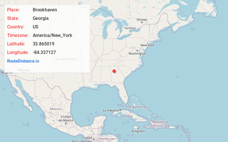
Full AddressBrookhaven, GA
-
Coordinates33.8650186, -84.3371266
-
LocationBrookhaven , Georgia , US
-
TimezoneAmerica/New_York
-
Current Local Time2:26:00 PM America/New_YorkTuesday, July 1, 2025
-
Website
-
Page Views0
About Brookhaven
Brookhaven, formerly North Atlanta, is a city in the northeastern suburbs of Atlanta that is located in western DeKalb County, Georgia, United States, directly northeast of Atlanta. On July 31, 2012, Brookhaven was approved in a referendum to become DeKalb County's 11th city.


Nearby Places
Found 9 places within 50 miles

Sandy Springs
5.0 mi
8.0 km
Sandy Springs, GA
Get directions

Dunwoody
5.6 mi
9.0 km
Dunwoody, GA
Get directions

Atlanta
8.5 mi
13.7 km
Atlanta, GA
Get directions

Roswell
11.0 mi
17.7 km
Roswell, GA
Get directions

Marietta
13.6 mi
21.9 km
Marietta, GA
Get directions

Johns Creek
13.8 mi
22.2 km
Johns Creek, GA
Get directions

Alpharetta
14.7 mi
23.7 km
Alpharetta, GA
Get directions

South Fulton
22.0 mi
35.4 km
South Fulton, GA
Get directions

Gainesville
41.9 mi
67.4 km
Gainesville, GA
Get directions
Location Links
Local Weather
Weather Information
Coming soon!
Location Map
Static map view of Brookhaven, Georgia
Browse Places by Distance
Places within specific distances from Brookhaven
Short Distances
Long Distances
Click any distance to see all places within that range from Brookhaven. Distances shown in miles (1 mile ≈ 1.61 kilometers).