Distance to Dunwoody, Georgia

Calculating Your Route
Just a moment while we process your request...
Location Information
-
Full AddressDunwoody, GA
-
Coordinates33.9462125, -84.3346473
-
LocationDunwoody , Georgia , US
-
TimezoneAmerica/New_York
-
Current Local Time12:18:02 PM America/New_YorkThursday, June 19, 2025
-
Website
-
Page Views0
About Dunwoody
Dunwoody is a city located in DeKalb County, Georgia, United States. As a northern suburb of Atlanta, Dunwoody is part of the Atlanta metropolitan area. It was incorporated as a city on December 1, 2008, but its area establishment dates back to the early 1830s. As of 2020, the city had a population of 51,683.


Nearby Places
Found 7 places within 50 miles

Sandy Springs
2.5 mi
4.0 km
Sandy Springs, GA
Get directions

Roswell
5.5 mi
8.9 km
Roswell, GA
Get directions

Alpharetta
9.2 mi
14.8 km
Alpharetta, GA
Get directions

Johns Creek
9.7 mi
15.6 km
Johns Creek, GA
Get directions

Atlanta
13.9 mi
22.4 km
Atlanta, GA
Get directions

South Fulton
26.1 mi
42.0 km
South Fulton, GA
Get directions

Gainesville
38.0 mi
61.2 km
Gainesville, GA
Get directions
Location Links
Local Weather
Weather Information
Coming soon!
Location Map
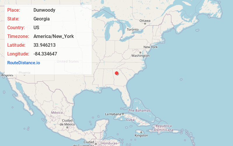
Static map view of Dunwoody, Georgia
Browse Places by Distance
Places within specific distances from Dunwoody
Short Distances
Long Distances
Click any distance to see all places within that range from Dunwoody. Distances shown in miles (1 mile ≈ 1.61 kilometers).