Distance to Milton, Georgia

Calculating Your Route
Just a moment while we process your request...
Location Information
-
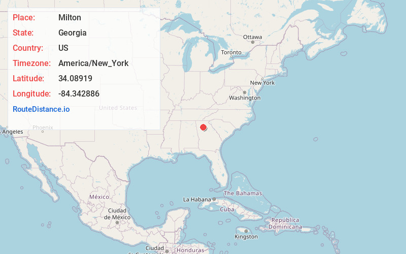
Full AddressMilton, GA
-
Coordinates34.0891899, -84.3428857
-
LocationMilton , Georgia , US
-
TimezoneAmerica/New_York
-
Current Local Time3:49:43 PM America/New_YorkWednesday, June 18, 2025
-
Website
-
Page Views0
About Milton
Milton is a city in Fulton County, Georgia, United States, located about 30 miles north of downtown Atlanta. Incorporated on December 1, 2006, the population was 41,296 as of the 2020 census.


Nearby Places
Found 10 places within 50 miles

Alpharetta
3.1 mi
5.0 km
Alpharetta, GA
Get directions

Roswell
4.7 mi
7.6 km
Roswell, GA
Get directions

Johns Creek
9.3 mi
15.0 km
Johns Creek, GA
Get directions

Dunwoody
9.9 mi
15.9 km
Dunwoody, GA
Get directions

Sandy Springs
11.1 mi
17.9 km
Sandy Springs, GA
Get directions

Marietta
15.1 mi
24.3 km
Marietta, GA
Get directions

Brookhaven
15.5 mi
24.9 km
Brookhaven, GA
Get directions

Smyrna
17.3 mi
27.8 km
Smyrna, GA
Get directions

Atlanta
23.6 mi
38.0 km
Atlanta, GA
Get directions

Gainesville
33.0 mi
53.1 km
Gainesville, GA
Get directions
Location Links
Local Weather
Weather Information
Coming soon!
Location Map
Static map view of Milton, Georgia
Browse Places by Distance
Places within specific distances from Milton
Short Distances
Long Distances
Click any distance to see all places within that range from Milton. Distances shown in miles (1 mile ≈ 1.61 kilometers).