Distance to East Point, Georgia

Calculating Your Route
Just a moment while we process your request...
Location Information
-
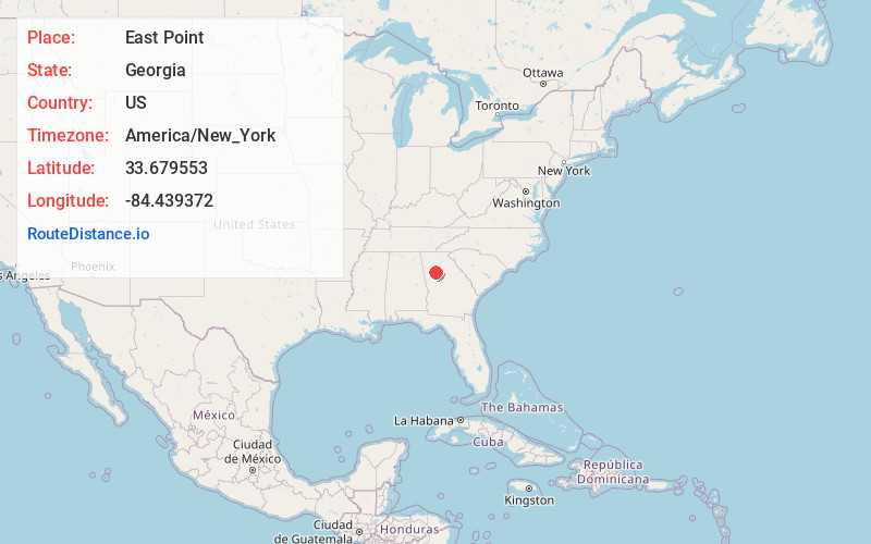
Full AddressEast Point, GA
-
Coordinates33.6795531, -84.4393724
-
LocationEast Point , Georgia , US
-
TimezoneAmerica/New_York
-
Current Local Time7:58:43 PM America/New_YorkMonday, June 2, 2025
-
Page Views1
About East Point
East Point is a suburban city located southwest of Atlanta in Fulton County, Georgia, United States. As of the 2020 census, the city had a population of 38,358. The city name is derived from being at the opposite end of the former Atlanta and West Point Railroad from West Point.


Nearby Places
Found 10 places within 50 miles

Atlanta
5.7 mi
9.2 km
Atlanta, GA
Get directions

South Fulton
10.9 mi
17.5 km
South Fulton, GA
Get directions

Mableton
12.6 mi
20.3 km
Mableton, GA
Get directions

Brookhaven
14.1 mi
22.7 km
Brookhaven, GA
Get directions

Smyrna
14.8 mi
23.8 km
Smyrna, GA
Get directions

Tucker
17.6 mi
28.3 km
Tucker, GA
Get directions

Sandy Springs
17.7 mi
28.5 km
Sandy Springs, GA
Get directions

Dunwoody
19.4 mi
31.2 km
Dunwoody, GA
Get directions

Marietta
19.9 mi
32.0 km
Marietta, GA
Get directions

Peachtree Corners
22.5 mi
36.2 km
Peachtree Corners, GA
Get directions
Location Links
Local Weather
Weather Information
Coming soon!
Location Map
Static map view of East Point, Georgia
Browse Places by Distance
Places within specific distances from East Point
Short Distances
Long Distances
Click any distance to see all places within that range from East Point. Distances shown in miles (1 mile ≈ 1.61 kilometers).