Distance to Griffin, Georgia

Calculating Your Route
Just a moment while we process your request...
Location Information
-
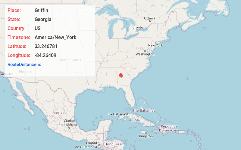
Full AddressGriffin, GA
-
Coordinates33.2467807, -84.2640904
-
LocationGriffin , Georgia , US
-
TimezoneAmerica/New_York
-
Current Local Time6:52:14 PM America/New_YorkWednesday, June 18, 2025
-
Website
-
Page Views0
About Griffin
Griffin is a city in and the county seat of Spalding County, Georgia, United States. It is part of the Atlanta metropolitan area. As of the 2020 census, the city had a population of 23,478.
Griffin was founded in 1840 and named for landowner Col. Lewis Lawrence Griffin.


Nearby Places
Found 10 places within 50 miles

McDonough
15.5 mi
24.9 km
McDonough, GA
Get directions

Stockbridge
20.6 mi
33.2 km
Stockbridge, GA
Get directions

Union City
28.5 mi
45.9 km
Union City, GA
Get directions

East Point
31.6 mi
50.9 km
East Point, GA
Get directions

Newnan
32.3 mi
52.0 km
Newnan, GA
Get directions

Candler-McAfee
33.1 mi
53.3 km
Candler-McAfee, GA 30032
Get directions
Redan
34.8 mi
56.0 km
Redan, GA
Get directions

South Fulton
35.3 mi
56.8 km
South Fulton, GA
Get directions

Atlanta
35.5 mi
57.1 km
Atlanta, GA
Get directions

Tucker
42.1 mi
67.8 km
Tucker, GA
Get directions
Location Links
Local Weather
Weather Information
Coming soon!
Location Map
Static map view of Griffin, Georgia
Browse Places by Distance
Places within specific distances from Griffin
Short Distances
Long Distances
Click any distance to see all places within that range from Griffin. Distances shown in miles (1 mile ≈ 1.61 kilometers).