Distance to and from Alexandria, Kentucky
Alexandria, KY 41001
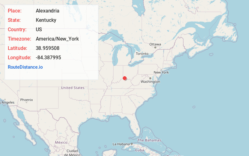
Alexandria
Kentucky
US
America/New_York
Location Information
-
Full AddressAlexandria, KY 41001
-
Coordinates38.9595078, -84.3879946
-
LocationAlexandria , Kentucky , US
-
TimezoneAmerica/New_York
-
Current Local Time7:11:21 PM America/New_YorkSaturday, May 3, 2025
-
Page Views0
Directions to Nearest Cities
About Alexandria
Alexandria is a home rule-class city in Campbell County, Kentucky, in the United States. Along with Newport, it is one of the dual seats of the county. The population was 10,341 at the 2020 census.


Nearby Places
Found 10 places within 50 miles

Independence
8.5 mi
13.7 km
Independence, KY
Get directions

Fort Thomas
8.6 mi
13.8 km
Fort Thomas, KY
Get directions

Amelia
10.3 mi
16.6 km
Amelia, OH
Get directions

Covington
10.7 mi
17.2 km
Covington, KY
Get directions

Newport
10.8 mi
17.4 km
Newport, KY
Get directions

Cincinnati
11.9 mi
19.2 km
Cincinnati, OH
Get directions

Erlanger
12.1 mi
19.5 km
Erlanger, KY
Get directions

Florence
13.1 mi
21.1 km
Florence, KY
Get directions

Norwood
14.6 mi
23.5 km
Norwood, OH
Get directions

Oakbrook
16.2 mi
26.1 km
Oakbrook, KY
Get directions
Independence
8.5 mi
13.7 km
Independence, KY
Fort Thomas
8.6 mi
13.8 km
Fort Thomas, KY
Amelia
10.3 mi
16.6 km
Amelia, OH
Covington
10.7 mi
17.2 km
Covington, KY
Newport
10.8 mi
17.4 km
Newport, KY
Cincinnati
11.9 mi
19.2 km
Cincinnati, OH
Erlanger
12.1 mi
19.5 km
Erlanger, KY
Florence
13.1 mi
21.1 km
Florence, KY
Norwood
14.6 mi
23.5 km
Norwood, OH
Oakbrook
16.2 mi
26.1 km
Oakbrook, KY
Location Links
Local Weather
Weather Information
Coming soon!
Location Map
Static map view of Alexandria, Kentucky
Browse Places by Distance
Places within specific distances from Alexandria
Short Distances
Long Distances
Click any distance to see all places within that range from Alexandria. Distances shown in miles (1 mile ≈ 1.61 kilometers).